Weather Fronts: Why Weather Fronts Matter to Drone Pilots?

May 30, 2025
Weather fronts are essential to understanding how and why our weather changes. They form when air masses with different temperatures and humidity levels meet, creating a boundary where conditions can shift quickly. These interactions can lead to anything from drizzle to powerful thunderstorms, depending on the type of front involved.
By learning about weather fronts, we gain insight into how temperature and precipitation patterns develop, how to interpret weather maps, and how to prepare for sudden changes in the atmosphere.
In this article, we’ll explore the four major types of weather fronts — cold, warm, stationary, and occluded and examine how each one affects the weather we experience.
Let’s get started.
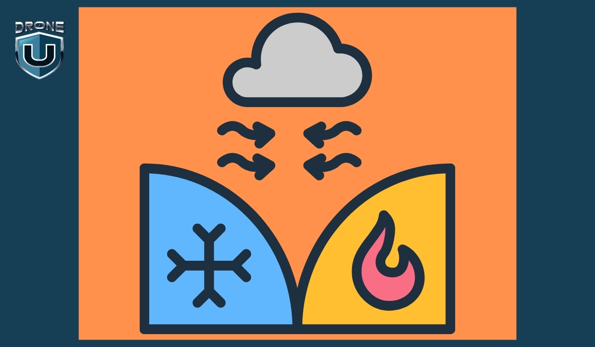
A weather front is the boundary where two different air masses meet, typically one that is warm and moist, and another that is cold and dry.
Because these air masses have different temperatures and humidity levels, they don’t mix easily.
Instead, the boundary between them becomes a zone of interaction, often leading to changes in weather.
When a front passes through an area, it can cause shifts in temperature, changes in wind direction, cloud formation, and various types of precipitation.
The type of weather that results depends on which air mass is advancing and how quickly the front is moving.
Let’s understand this with an example.
Imagine the atmosphere like a football field.
On one side, you’ve got Team Cold Air. They’re big, heavy, and strong — like linemen who charge forward with force.
On the other side is Team Warm Air — lighter, quicker, and trying to move in smoothly, like agile players trying to run a play.
The front is the line where they meet, like the line of scrimmage. Neither team wants to back down.
When one team pushes forward, it causes a bunch of action at the line, and that action is what we feel as wind, rain, storms, or snow.
It’s like a tug-of-war or a play in football. The weather changes depending on which “team” is gaining ground.
There are four main types of weather fronts, each with distinct characteristics and weather patterns. They’re classified based on how air masses interact and which one is advancing.
Let’s understand them one by one:
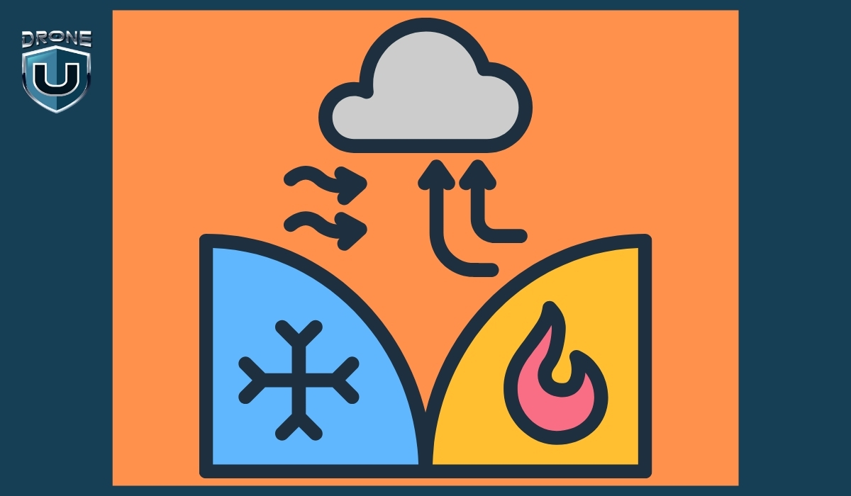
A cold front occurs when a cold air mass moves in and pushes underneath a warmer air mass. Because cold air is denser, it forces the warm air to rise quickly.
A cold front sweeping across the Midwest U.S. may bring an intense line of thunderstorms followed by clear skies and a temperature drop of 10–15°C.
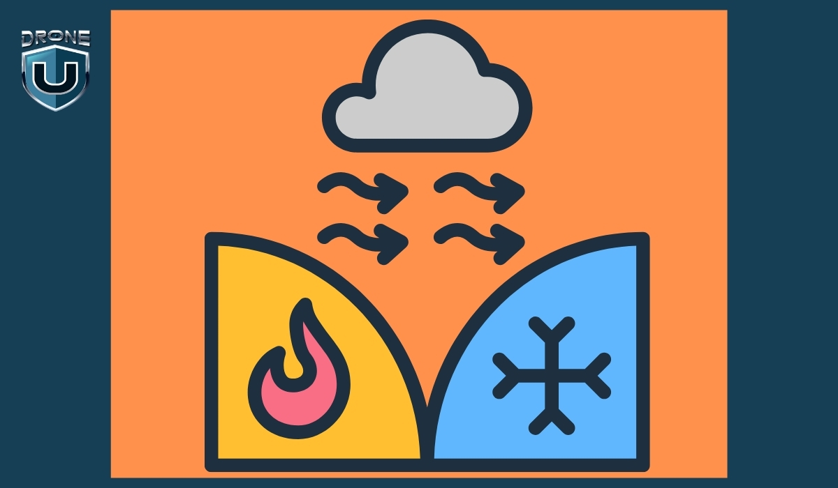
A warm front forms when a warm air mass moves in and slides over a cold air mass. Since warm air is lighter, it gently rises above the cold air.
A warm front moving through Europe might bring a grey, drizzly morning followed by a warm and sunny afternoon.
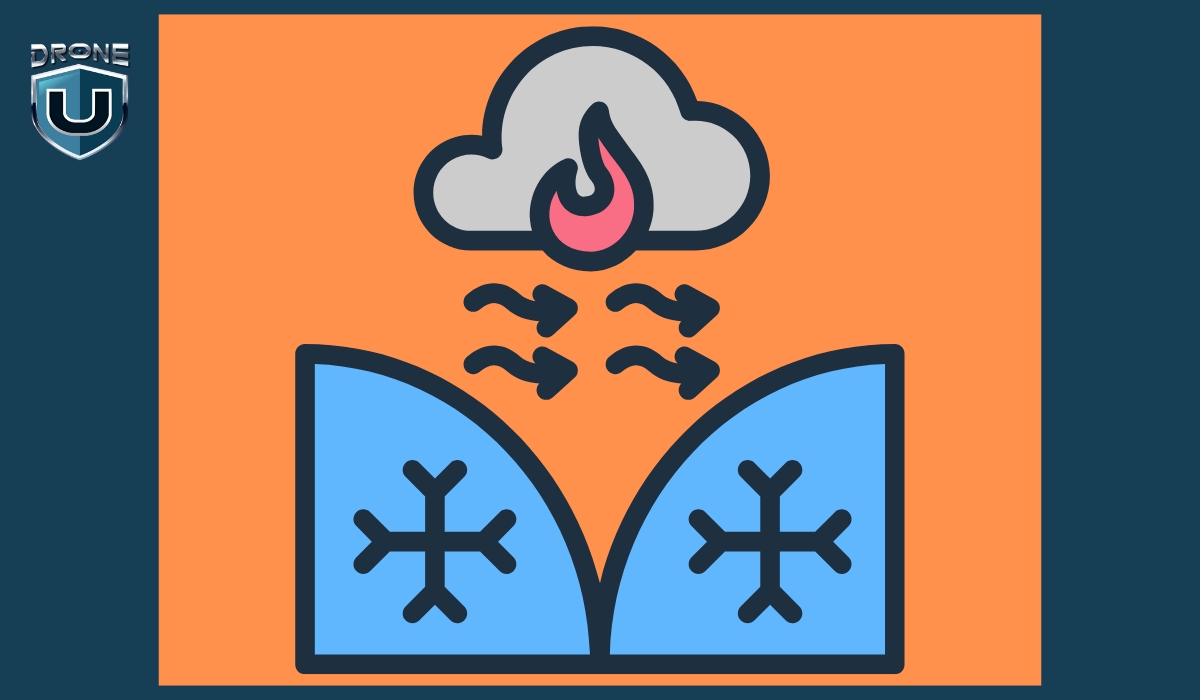
A stationary front occurs when two air masses meet but neither has enough force to move the other. The front stays in place for hours or even days.
In the U.S. Southeast, stationary fronts can sit for days, creating gloomy, wet conditions across multiple states.
An occluded front forms when a cold front catches up to a warm front. The warm air is lifted off the ground by the colder air on both sides.
In northern Europe or the northeastern U.S., occluded fronts bring stormy weather during complex systems like mid-latitude cyclones.
| Feature | Cold Front | Warm Front | Stationary Front | Occluded Front |
| Definition | Cold air pushes under warm air | Warm air slides over cold air | Neither air mass moves significantly | Cold front overtakes warm front |
| Movement | Fast-moving | Slower than cold front | Little to no movement | Complex; part of mature low-pressure systems |
| Air Mass Interaction | Cold air replaces warm air | Warm air replaces cold air | Air masses meet but don’t move | Warm air is lifted above two cold air masses |
| Cloud Types | Cumulonimbus, towering clouds | Stratus, nimbostratus (layered clouds) | Stratus, nimbostratus | Cumulonimbus, altostratus |
| Weather Before | Warm, humid, increasing clouds | Cool, increasing cloud cover and drizzle | Cloudy, wet, humid | Rainy or stormy |
| Weather During | Heavy rain, thunderstorms, gusty winds | Light rain or snow, steady precipitation | Continued light rain or drizzle | Rain, storms, gusty winds |
| Weather After | Cooler, clear skies | Warmer, partly cloudy | No major change | Cooler, drier air |
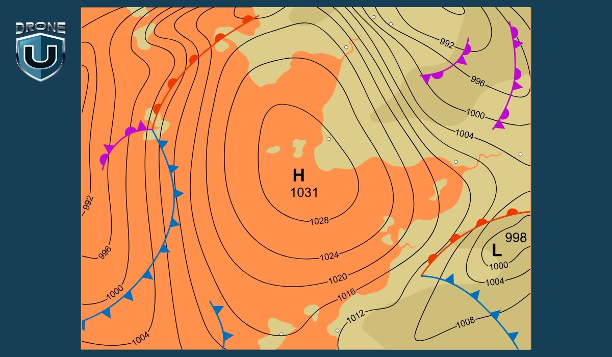
| Map Symbol | Blue line with triangles | Red line with semi-circles | Red/blue line with alternating shapes | Purple line with triangles & semi-circles |
| Common Location | Leading edge of a cold air mass | Leading edge of a warm air mass | Along slow-moving systems (e.g., Gulf Coast) | Mid-latitude cyclone zones |
Weather is one of the most critical variables in drone operations, and weather fronts are particularly important.
For drone pilots, understanding how these atmospheric shifts affect flight safety is essential:
As a front approaches or passes through, the atmosphere can become unstable. Cold fronts often bring rapid wind shifts, gusts, and even thunderstorms, which can destabilize drones mid-flight. Warm fronts tend to create extended periods of rain, low cloud cover, and reduced visibility—conditions that can disrupt GPS signals and sensor performance.
Stationary fronts present a different challenge. They linger over areas, causing hours or even days of fog or drizzle, which can delay missions or disrupt commercial drone schedules.
Wind is the single most critical weather element for drones, and fronts often bring sharp shifts in both speed and direction. Cold fronts, in particular, can create turbulent air as dense, cold air undercuts warmer air masses, producing gusts and downdrafts that drain battery life and strain motors.
While warm fronts bring milder winds, they often increase humidity, which can cause condensation on drone components, potentially damaging sensitive electronics if maintenance is neglected.
Flying near a front usually means dealing with reduced visibility due to fog, low clouds, or rain. These conditions affect visual and non-visual sensors alike: cameras lose clarity, LiDAR and ultrasonic sensors can be thrown off by moisture, and GPS signals may weaken.
This degradation in sensor performance makes drones less responsive and increases the risk of crashes, flyaways, or missed objectives in drone mapping or drone inspection tasks.
Understanding weather fronts helps drone pilots make better decisions about flight timing and location. By reading weather maps, noting shifts in wind or temperature, and analyzing radar or satellite data, pilots can proactively avoid hazardous conditions.
For commercial operators, this kind of planning minimizes costly downtime and helps meet project timelines, especially in sectors where weather opportunities are limited.
Most aviation authorities require drone operators to avoid flying in unsafe weather. Failing to account for a passing front may result in not only mission failure but also regulatory penalties. Being able to interpret weather fronts and adapt your flight plan accordingly is part of being a responsible, compliant pilot.
Weather fronts aren’t just abstract meteorological concepts; they signal real, rapid changes in flight conditions. For drone pilots, understanding and anticipating these changes can be the difference between a safe mission and a risky one.
By learning to recognize front types and track their movement, pilots can plan flights around safer weather windows, reduce the risk of accidents caused by turbulence or poor visibility, and ensure compliance with regulations.
This knowledge isn’t just about avoiding bad weather—it’s about making informed decisions that protect your drone, maximize flight efficiency, and ultimately help you become a more confident, responsible pilot.
