

Southern Border Drone TFR: 1 NM No-Fly Ban Through October 2027

October 20, 2026
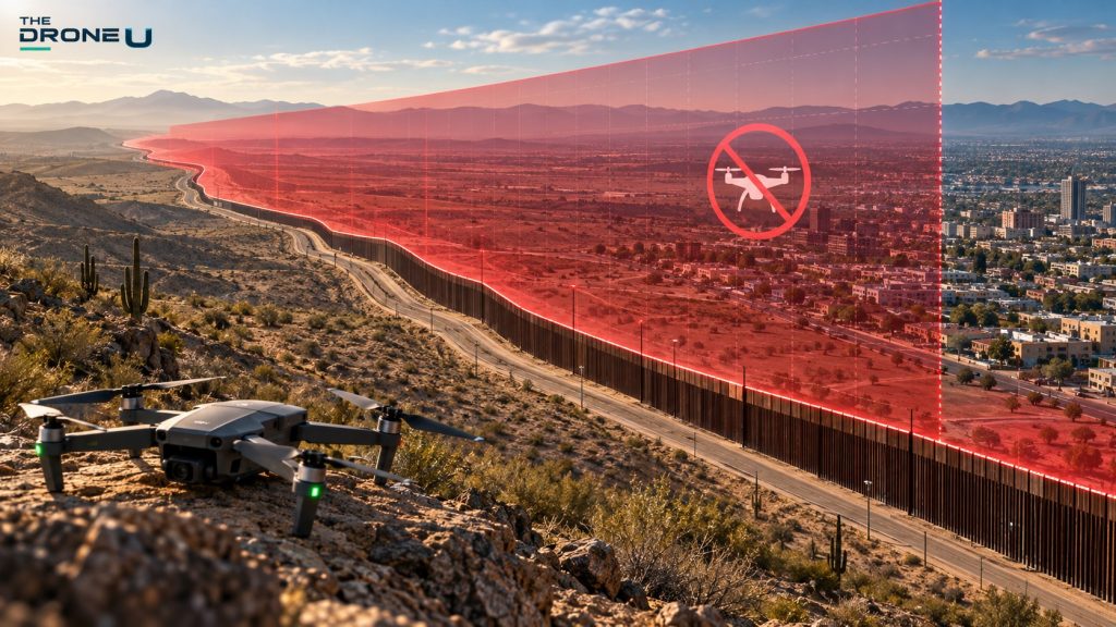
If you fly anywhere near the U.S.-Mexico border, your preflight checklist just got a new line. On October 16, the Departments of Transportation, War and Homeland Security announced a drone-only temporary flight restriction (TFR) covering a one nautical mile deep along the entire southern border, from the surface to 400 feet above ground level (AGL). The restriction became enforceable at 0000 UTC on Tuesday, October 20, 2026 (8 p.m. ET Monday, October 19). It runs through October 19, 2027. The only way to fly inside it is with approval from U.S. Customs and Border Protection (CBP).
The agencies frame it as a response to cartel drone activity. The numbers that matter:
Pilot impacted by the drone ban in downtown El Paso, Laredo and Brownsville in Texas, Nogales in Arizona and Calexico in California, should call the designated controller of the TFR for permission to fly for commercial purposes. For real estate, roofing and construction pilots in those cities, you will now have to get permission by calling the number on the TFR and you will have to provide written proof of a contract in order for flights to be allowed.
The early reporting gave conflicting start dates. The joint press release on October 16 said the TFR was “effective today,” and many outlets, ZeroHedge among them, repeated that. The FAA’s Domestic Notice lists the period as October 19, 2026, to October 19, 2027. But the NOTAMs themselves are what legally control a TFR, and they took effect at 0000 UTC October 20. That was Monday evening along the border: 5 p.m. in California and Arizona, 6 p.m. in El Paso and New Mexico, and 7 p.m. in the rest of Texas (8 p.m. ET). The NOTAMs run until October 19, 2027. Either way, the restriction is in effect now.
The FAA’s Domestic Notice, which is the official source, lists the three NOTAMs as ZLA 6/9954 (Los Angeles Center: California and western Arizona), ZAB 6/9978 (Albuquerque Center: the rest of Arizona, New Mexico and far west Texas, including El Paso) and ZHU 6/9956 (Houston Center: the rest of Texas to the Gulf). An early report listed the Albuquerque NOTAM as 6/9955. Go by the FAA’s number, 6/9978. One more thing to watch for: searching by number on FAA tools can bring up older, unrelated NOTAMs that reused these numbers, so check the issue date. Before each flight, look at the FAA TFR map and B4UFLY or your LAANC app.
Requests go to CBP at [email protected] at least 48 hours before the flight. Per the Domestic Notice, include:
First responders and organizations handling natural disasters or other time-sensitive emergencies may qualify for expedited coordination by calling CBP at 951-570-4185.
The industry is pushing back on that gap. AUVSI vice president Scott Shtofman told DRONELIFE that it’s “not yet clear” whether commercial, infrastructure, agricultural and newsgathering flights can be approved, and the group wants CBP to spell out its approval criteria, commit to response times and offer recurring approvals for operators who fly the area regularly.
The band is designated National Defense Airspace. That puts interception, certificate action, civil penalties and criminal charges under 49 U.S.C. 46307 on the table, and federal agencies may disrupt, seize or destroy a drone they judge to be a credible threat. In the release, Secretary of War Pete Hegseth said troops equipped with directed energy weapons “will shoot down any cartel drone that threatens America’s sovereignty.”
Reading NOTAM text and TFR boundaries is a core pilot skill, not an afterthought. Our Part 107 course walks through airspace, NOTAMs and TFRs the way you’ll actually use them in the field.
For the next year, the lowest 400 feet within a nautical mile of the southern border is effectively off-limits to civil drones unless CBP signs off—and its published categories leave little room for everyday commercial work. If you fly in a border city, verify the live NOTAMs, map your job sites against the line, and assume enforcement is real. When in doubt, don’t launch.
Sources: FAA press release (Oct. 16, 2026); FAA Domestic Notice: U.S. Southern Border UAS TFR; Drone Authority; UASFeed; ZeroHedge (via The Epoch Times); UAShield; Reuters via Investing.com; DRONELIFE
 0