

BRINC LiveOps App Puts Live Drone Video on First Responders’ Phones

November 18, 2026
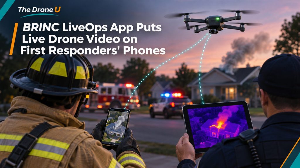
BRINC has released an iOS app that puts live drone video in the hands of officers, firefighters and incident commanders wherever they are. The BRINC LiveOps app, announced Nov. 17, brings the company’s existing LiveOps platform to iPhones and iPads. Until now, users reached that platform through a web browser. As DroneLife reported, the goal is to get aerial video to the people making decisions at the scene, not just to the pilot or a dispatch room.
Drone as first responder (DFR) programs send an aircraft to a 911 call, often before any patrol car or engine gets there. That head start only matters if the video gets to the people who need it. In many agencies today, the drone operator or a dispatcher watches the feed and passes along what they see over the radio. Details get lost that way.
With LiveOps on a phone, an officer driving to a possible armed-subject call could watch the live feed before walking up to the building. A fire captain could look over a burning structure and the area around it before sending crews in. An incident commander could keep an eye on several drone feeds while coordinating a large scene. According to DroneLife, authorized users can adjust multiple live video feeds, see drone activity across the agency and check real-time airspace conditions, all without going back to an operations center.
“DFR is becoming a source of real-time intelligence for entire public safety organizations, not just the people flying drones,” BRINC founder and CEO Blake Resnick said in the announcement, adding that responders can now “see what’s happening from above right from their phone.”
The app is the mobile front end of a larger system. LiveOps combines drone operations, video streaming, fleet management and evidence storage, and it connects to computer-aided dispatch (CAD) and evidence management systems. With the CAD link, a call for service and its location can flow straight into LiveOps so an operator can launch a drone without typing in an address.
Recorded visual and thermal video, maps and flight logs are stored in a CJIS-compliant environment, the security standard police agencies need for criminal justice data. BRINC says the platform uses AES-256 encryption, two-factor authentication, role- and team-based access controls, and U.S.-only data hosting. The app is available now in the Apple App Store, and existing BRINC customers can sign in with their current accounts. The announcement did not mention an Android version.
The launch builds on a busy year for BRINC. DroneLife notes the company closed a $125 million funding round led by Motorola in July and announced a partnership with the National League of Cities in March aimed at widening access to DFR technology.
For public safety pilots, tools like this change the job. When your feed goes straight to a dozen phones, you’re not just flying the aircraft and narrating what you see. You’re running a live broadcast that commanders may act on in real time. That puts more weight on steady camera work, clean framing and thinking about what the people on the ground need to see. It also raises the stakes on privacy and evidence handling, since more people can watch, and recorded footage may end up in court.
The regulatory basics haven’t changed. DFR flights still happen under Part 107 (often with BVLOS waivers) or a public aircraft certificate of authorization, and the remote pilot in command is still responsible for the flight no matter how many people are watching. If you want to fly for a public safety agency, a solid Part 107 foundation comes first. Drone U’s Part 107 course is a good place to start.
The DroneLife coverage also makes an important point: aerial video helps, but it can’t show every hazard, and it doesn’t replace a trained responder’s judgment.
Sources: DroneLife (Miriam McNabb, Nov. 17, 2026); BRINC LiveOps.
 0