Common Drone Deliverables of Professional Drone Operators

December 27, 2022
Common drone deliverables of professional drone pilots typically comes down to orthomosaics or photogrammetry, aerial videos and aerial photos.
As drone technology becomes increasingly widespread, professional drone operators are in high demand for a range of services, including the creation of various types of deliverables. Some of the most common drone deliverables that professional drone operators are expected to produce include orthomosaics, aerial orbital video, and edited aerial photographs.
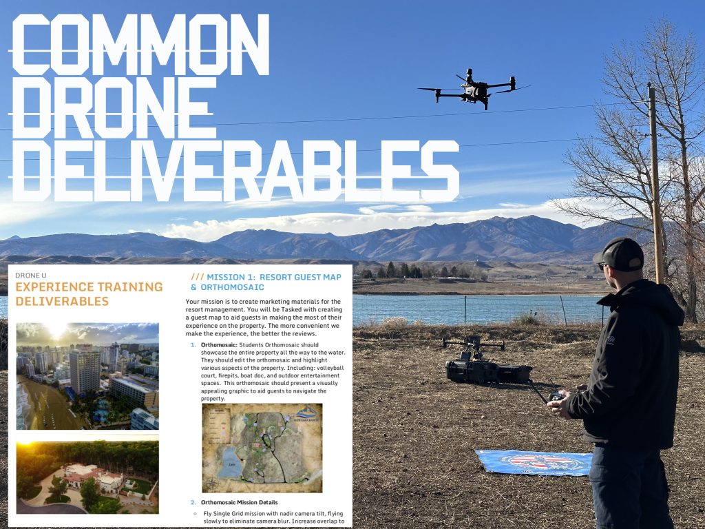
An orthomosaic is a type of map that is created using aerial photographs stitched together to form a highly detailed, accurate representation of an area. Orthomosaics are created from drone imagery using a process called photogrammetry. Orthomosaics are often used for land surveying, mapping, and asset inspection, and can be created using both traditional aerial photography and drone-captured images.
Common Drone Deliverables
Aerial orbital video refers to video footage captured by a drone as it orbits around a subject or location. This type of video is often used to showcase properties or locations from a unique perspective, and can be especially effective when used in real estate marketing or tourism promotion. It is also a flight path that can be easily automated. This flight path also makes it easy to add video motion complexity to increase perceived production value of the video. Aka simply tilting the camera up and down slowly at a smooth rate can increase the production value.
Edited aerial photographs are photographs that have been professionally edited and enhanced to highlight specific features or areas of interest. These photographs can be used for a variety of purposes, including marketing, documentation, and more.
In order to produce these deliverables, professional drone operators must have a thorough understanding of drone technology, as well as a strong foundation in aerial photography and videography techniques. They must also be proficient in using post-production software to edit and enhance their footage, and must adhere to all relevant regulations and guidelines when operating their drones. Drone U members have access to all the necessary courses to build the skills to fly, edit photos, edit video, create orthos and automate the business.
Overall, professional drone operators are expected to produce a wide range of deliverables, including orthomosaics, aerial orbital video, and edited aerial photographs. These deliverables can be used for a variety of purposes, and are an important part of the growing field of drone technology.
Common Drone Deliverables and Associated Industry Verticals
Professional drone pilots are really creating 3 common drone deliverables for most drone jobs. Industry like construction and film are literally creating similar deliverables. Orthomosaics are used in the following industries:
One of the newest drone deliverables to gain popularity is portrait style aerial videos for Instagram Reels. These short, vertical videos are perfect for social media promotion, as they are well-suited for viewing on mobile devices and can easily be shared on platforms such as Instagram.
Aerial videos captured in portrait style offer a unique perspective that is not possible with traditional aerial videography, and can be especially effective for showcasing properties or locations from a new angle. They can be used to promote events, tourism destinations, real estate listings, and more. To learn more and see examples, check out this article.
To create portrait style aerial videos, professional drone operators must be proficient in both drone operation and videography, and must have a strong understanding of how to capture compelling footage in a vertical format. They must also be skilled in post-production techniques, such as color grading and sound design, to create polished and engaging videos.
As social media platforms continue to prioritize short, visually striking content, it is likely that portrait style aerial videos will become an increasingly popular drone deliverable for those looking to promote their businesses or products online.

Add Your Comment