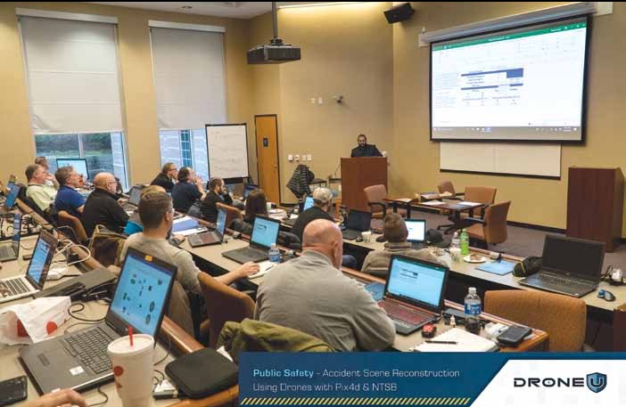
Drone U’s Accident Mapping Class with Pix4D and NTSB

October 16, 2019
Accident Scene Reconstruction using drone mapping adds another level of sophistication to an already complex and incredibly nuanced field. When legal decisions are being made based off your drone data, there is no room for any errors.
We, at Drone U have come up with a unique training that gamifies the entire learning experience.
Contrary to popular perception, rather than data acquisition, it is data processing that is the most time-consuming aspect of drone mapping. And surprisingly, many drone trainings fall woefully short in this regard.
And yet, there are other drone schools that attempt to teach students the nuances of drone processing without walking them through different acquisition strategies.
Recognizing these industry shortfalls, Drone U partnered with Pix4D to offer a carefully structured Accident Scene Reconstruction Training at the NTSB Training Academy.
Classroom training commenced with processing training taught by Pix4D’s Angad Singh. Apart from discussing topics like scale constraints and merging maps, Angad explained how students can recreate crash scene with survey-grade precision.
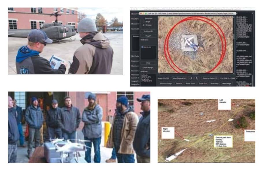
Flying real-life missions is certainly the best way to test a pilot’s skills. So, on Day 2, our students took to the skies to fly three carefully structured missions:
Mission 1 – Map a small general aviation fatal accident
In this mission, students:
Students were provided with a guide that detailed the individual flight paths for processing in Pix4D.
Mission 2 – Map a UH-60 Helicopter
Mission 3 – Map an area to look for missing “victim” and helicopter parts
In this last mission, Drone U students were asked to look for hidden mannequin and helicopter parts. Students were asked to use Loc8 software to analyze images.
On Day 3, students learnt how to:
To learn workflow, students processed different models and learned the importance of scale constraints in relative space. Further, a demonstration of a new search-and-rescue software wrapped up the final day of the reconstruction class.
Drone U’s unique training model that emphasizes education via practical experience resulted in increased engagement and retention. Further, healthy competition among students encouraged them to put in their best effort.
As is evident from our student testimonials, this approach certainly seems to be a winning one. We shall be conducting this same training again in spring. Check out our website for updates and information about future trainings.
Become a Drone U Member.
Do not forget to subscribe and listen to Ask Drone U, the #1 drone podcast on iTunes!

Add Your Comment