
Drones for Engineers: The Tape Measure in the Sky (and PDH Credits That Don’t Suck)

October 27, 2026
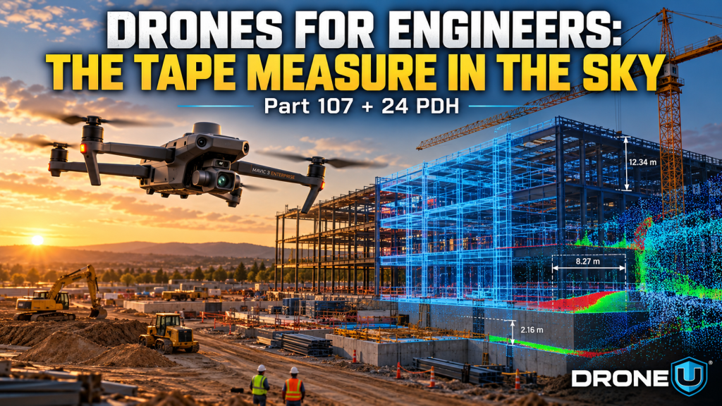
For decades, an engineer checking a jobsite against the plans meant a tape measure, a total station, a clipboard and a lot of walking. That’s changing fast. More and more professional engineers are adding a new tool to that kit: a drone. It’s the tape measure in the sky.
And here’s the part most engineers haven’t heard yet: you can earn your FAA Part 107 certificate through Drone U and count it toward your continuing education requirements. Drone U has offered this for a few years now. We’re just getting the word out, because continuing education doesn’t have to suck.
A drone that only takes pretty pictures is an eye in the sky. A drone flown on a planned mapping mission is something else. It’s a measurement instrument. With overlapping photos processed through photogrammetry software, or with a LiDAR sensor, a single flight produces orthomosaic maps, elevation models and 3D point clouds you can measure, compare and audit.
That shift, from looking to measuring, is why drones for engineers have become a serious workflow and not a novelty.
Inspection is where many engineering firms start. Drones put a high-resolution camera next to a roof, facade, bridge element, tower or solar array without lifts, rope access or scaffolding. The engineer reviews the imagery on the ground, documents conditions with a time stamp and location, and flies the same path again later to see what changed.
The drone doesn’t replace the engineer’s judgment. It gets the engineer better data, faster, with fewer people working at height.
The bigger story is 3D reality capture. Here’s how engineers and VDC teams are using it.
Brasfield & Gorrie’s VDC team told DroneDeploy that a ground survey of a 60-acre site could take two or three weeks. With drone mapping, that dropped to four days or less. On a healthcare project in Apopka, Florida, the firm saw a 75% reduction in the time needed to compare existing grade against final design grade, using a drone-built elevation model.
Once you have a point cloud, you can drop it into the same software that holds the design. Brasfield & Gorrie imports drone point clouds into Autodesk Revit and overlays them on 3D site models for site design, quality assurance and progress tracking. That’s deviation analysis in plain terms: what was designed versus what was built, measured instead of eyeballed.
The Beck Group did the same thing with Skycatch point clouds merged into Navisworks. In one case, the team spotted that wing walls shown in the model had no framing on the roof. They caught it mid-project and sent an RFI, instead of finding it at the final walk. Beck reported a 25% reduction in rework from change orders and at least five hours a week saved on coordination meetings. (That’s a vendor case study from 2017, so treat the numbers as one firm’s experience.)
Parsons Construction field engineers in Denver used weekly drone flyovers with PIX4Dcloud Advanced to track quantities. The goal was one source of truth for the owner’s inspectors, the subcontractor and the general contractor, so nobody has to re-measure at the end of the month over pay applications.
This is where the drone stops being a camera and becomes a system. When you fly the same automated mission every week, you get a consistent, repeatable record of the site. Software can then do much of the comparison work for you:
Accuracy still depends on the work behind the flight: ground control or RTK/PPK, overlap, altitude and processing. That’s exactly why the pilot’s training matters.
Any drone flight done for work, including inspections and mapping for your firm or client, is a commercial operation. In the U.S., that falls under the FAA’s 14 CFR Part 107, and the remote pilot in command needs a Part 107 remote pilot certificate. That means passing the FAA’s knowledge test on airspace, weather, regulations, loading and operations.
Drone U’s Part 107 course was built to get you through that test on the first try, even if you’ve never flown a drone.
Here’s the part we want every engineer to know. Through our PROPS training platform, Drone U offers a continuing education program for engineers, surveyors and A/E/C professionals. Drone U describes its drone training as part of the Registered Continuing Education Program, so you can work toward licensure requirements while learning drone technology, mapping and photogrammetry.
The New Part 107 Course for CE is:
Every state board sets its own continuing education rules, so check with your board on how drone training PDH apply to your license.
Most PDH hours are spent half-listening to a webinar you’ll forget by Friday. This is different. You come out with an FAA certificate, a skill your firm can bill for, and a better way to measure, inspect and track your projects.
We’ve been doing this for engineers for a few years now. If you’re due for PDH, make them count. Start with the Engineering CE program, or jump straight into the Part 107 course.
 0