Most drone pilots fly an automated grid, hit process, and wonder why their elevations are hundreds of feet off. Delivering drifted data will get you laughed off a job site, but you don’t need a $10,000 enterprise rig to produce survey-grade results, you just need the proper workflow.
In this practical course, you’ll learn exactly how to:


 We’ve assisted Netflix producers and production managers on several projects. This includes flying to produce 3D models they used for location and set planning.
 More than 100 Tesla drone pilots from their solar group have used our online training for both Part 107 prep and understanding safe drone operations.
 We’ve performed drone flights for several of their wake surfing events, as well as flights for many of their boat commercials.
 We proudly serve Warriors online in the efforts to become Part 107 certified as well as through in person training equipping them for a successful career in the UAS vertical of their choosing.
 We’ve trained several of their drone pilots on solar inspections with drones. We’ve also provided photogrammetric flights on a large construction project as part of the creation of 3D models for the project.
 We are American Electric Power’s UAS training partner, delivering Part 107 prep via our PROPS LMS, in-person Flight Mastery training, ongoing recurrency training, and mission-specific instruction tailored to utility operations. Ensuring pilots maintain readiness and execute safely in real-world environments.
 Provided in person preparatory training for the FAA Part 107 exam as well as flights over water training.
 We’ve trained dozens of Weitz pilots both online and in person. From Part 107 prep to Flight Mastery and Mapping Boot Camps. We’ve been a trusted advisor as they’ve built their program over the past few years.
 One of our more exciting training opportunities, we’ve been onsite at the NTSB Training Academy multiple times to provide accident reconstruction with drones training; a complex and important element of the work they do. They’ve also had pilots attend other training events we’ve held.
 We’ve been NYPA’s training partner and/or UAS consultant since late 2021. This includes over 120 pilots who’ve prepped for Part 107 on our PROPS LMS, and dozens of pilots we’ve trained in person on Flight Mastery and drone mapping. We’ve also consulted on their UAS training manual and SOPS.
 We’ve trained several of their pilots in person. They took our 3 Day Enterprise Flight Mastery course, which included N.I.S.T. training.
 Several drone pilots from the Geico aviation team took multiple courses on our PROPS LMS platform. Including Part 107 Prep, Safe Drone Operations, Don’t Crash Courses, and many others.
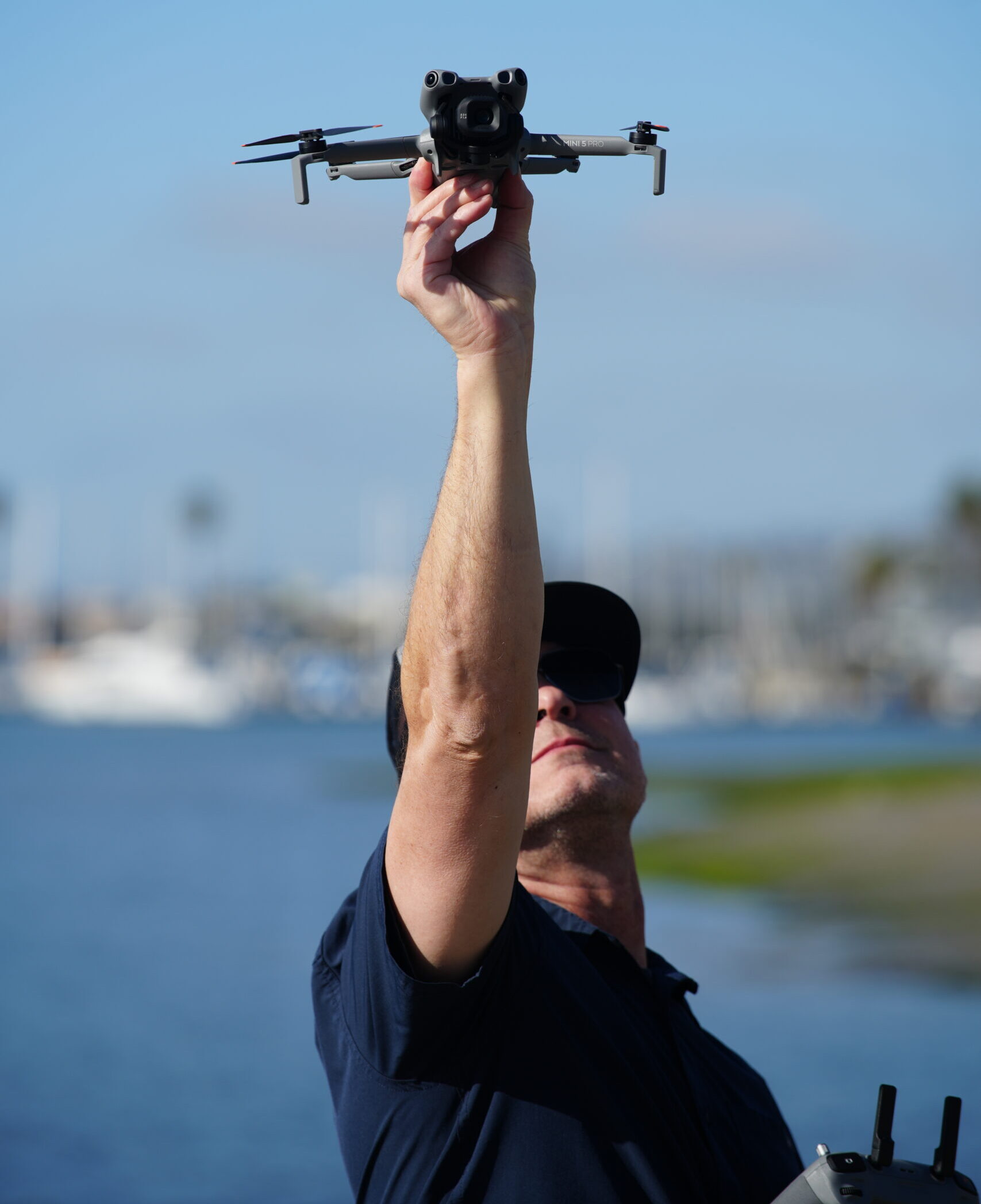
Learn how to create, import, and execute autonomous grid missions directly on your DJI RC2 controller without relying on expensive third-party flight apps.
Paul walks you through converting raw WGS-84 data into localized State Plane coordinate systems so your elevations and contours line up with real-world site blueprints.
Master proper GCP placement, spacing, and target marking to anchor your map data and eliminate the vertical errors common with consumer drones.
A practical workflow for aligning and processing aerial imagery using budget-friendly and cloud tools to produce clean data ready for GIS and project teams.

We're confident you'll love this course, but if for any reason you don't, we've got you covered with a no-fuss 14-day money-back guarantee.

Once you're in, you're in for life. Come back anytime for a quick refresher. Never loose access to a course you have purchased.

This training empowers you to master the practical workflows of creating 2d maps and 3d Models in a variety of softwares so you can always get the job delivered.

Learn from instructors with real-world experience in drone mapping and modeling, bringing you practical wisdom and insights.

Get direct answers to your questions, and learn from your peers in our friendly and supportive community forum.

Learn from the pioneer in drone training with over 30,000 drone pilots trained and a vast experience spanning a decade
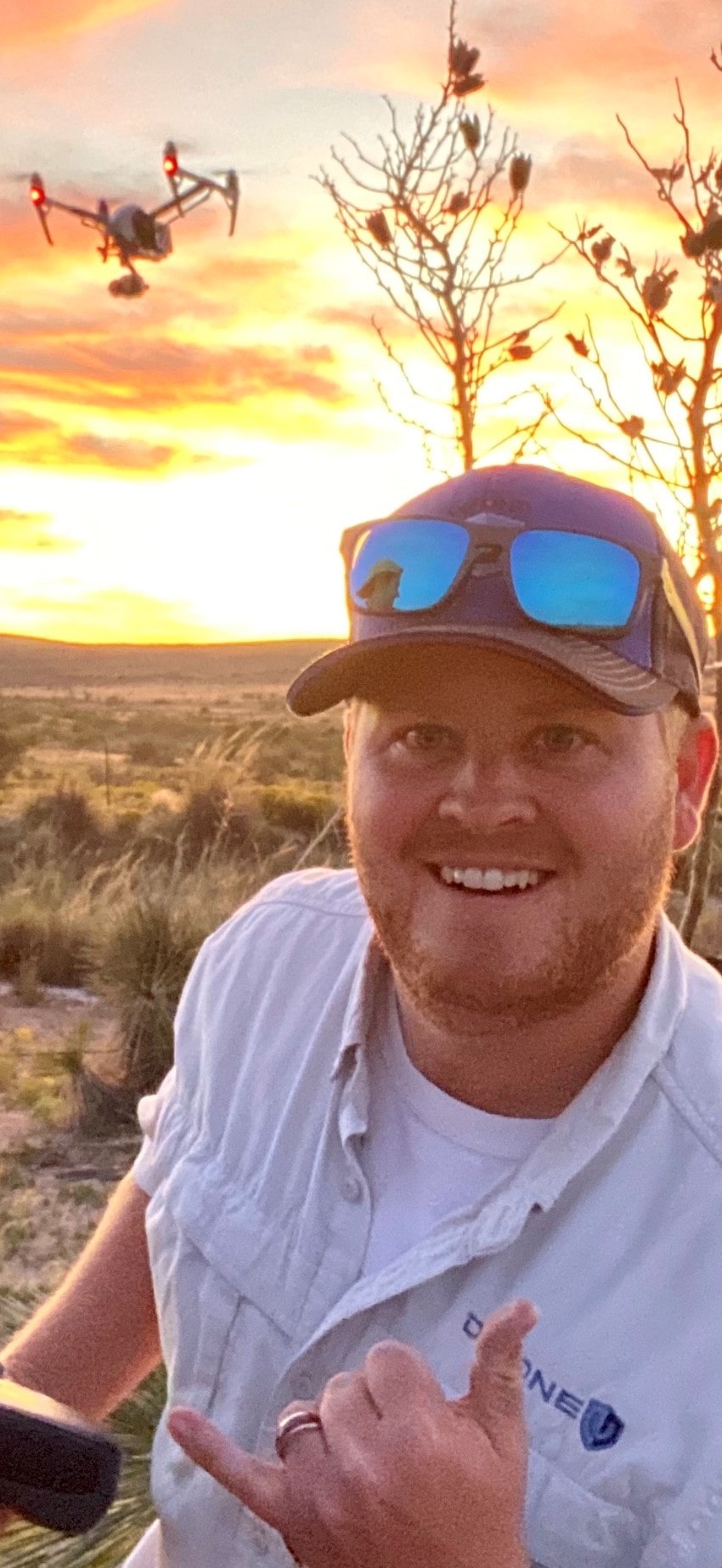
Paul Aiken is a highly accomplished drone industry leader, educator, and aerial data specialist with over a decade of experience pushing the boundaries of UAV technology. A graduate of the University of New Mexico with a degree in criminology, Paul has also studied international finance at Charles University in Prague and holds graduate certificates in data analytics from MIT.
Since entering the drone industry in 2011, Paul has built an impressive track record as a DJI-sponsored pilot for nearly 11 years, winning awards such as Video of the Year for the World Series of Wakesurfing. His expertise extends across mapping and inspections, having successfully mapped most of the baseball stadiums in the U.S. for radar inspection and interference mapping and contributed to large-scale construction and infrastructure projects.
Paul has trained and developed some of the largest drone programs in the country, spanning construction, utilities, and critical infrastructure. As a certified photogrammetry instructor with Pix4D, he is passionate about creating data-driven training systems that enhance flight precision, limit liability, and instill confidence in drone operators. With a deep expertise in flying low, close, and smooth in any environment, Paul continues to advance the industry by integrating cutting-edge drone technology with real-world applications.
With years of experience training thousands of drone pilots, Paul cuts through the hype to teach commercial mapping that actually works. Learn how to fix elevation drift, deploy Ground Control Points and deliver survey-grade data using the DJI drone you already own.

My experience with The Drone U's Flight Mastery Class was nothing short of extraordinary! From the start, Paul and Brandon guided me and my classmates through the intricacies of drone flight with unparalleled enthusiasm and insight. Every lesson was intricately designed, providing a blend of theoretical knowledge and hands-on experience that was engaging and invaluable for even an experienced drone pilot like myself. The selected environment was conducive for learning and mastering the skills necessary to navigate the skies confidently and responsibly. I emerged not just with technical proficiency, but with a deep understanding and appreciation for the art of drone flying. If you’re seeking to elevate your drone flight skills to professional heights, look no further than The Drone U! Their Flight Mastery Class is a soaring testament to their commitment to cultivating skilled and responsible drone pilots. Five stars are truly not enough to encapsulate the brilliance of this establishment!!!
The Drone U is the place to learn to be a confident and knowledgable drone operator. I recently participated in the Flight Mastery and Mapping class, and the experience was better than what I could have ever expected. Aside from all the valuable information taught, the individuals teaching are just GREAT HUMAN BEINGS! They really care about everyones growth and your success. Thank you Paul! Thank you Brandon!
The Drone U has been an incredible resource for educating myself in drone safety and overall drone knowledge.
I have taken courses from other “drone experts” and nothing compares to the Drone U. The knowledge they provide goes into far greater depth and detail than I expected. It is the most comprehensive drone school I have found and I am happy to have been a member for almost two years.
Without the Drone U I would be lost in my drone journey! If you are on the fence or have drone related questions I suggest you sign up and try it out. The community that is included with membership is very knowledgeable and always willing to help answer your questions along the way.
These guys deserve a 10/10 rating.
As an aspiring drone pilot, I couldn't help but leap at the opportunity to write drown my exhilaration and appreciation to The Drone U team for the extensive and supremely informative courses offered at The Drone U!
Navigating through the world of drones can be quite daunting. The sky's the limit (literally!), and with the technology advancing at breakneck speed, I found it crucial to get trained by the very best in the field. Enter The Drone U - a beacon of unparalleled knowledge, expertise, and commitment to nurturing drone enthusiasts like myself!
From the get-go, I was enamored by their comprehensive catalog of online courses. Each module is meticulously crafted to cover the A-Z of drone piloting and services, ensuring students are not just 'in the know' but also poised to soar high with confidence and competence.
What truly sets The Drone U apart is their unwavering dedication to quality and student success. The courses are not merely theoretical jargon thrown your way. Instead, they come alive with real-world applications, hands-on training sessions, and invaluable insights from seasoned professionals who've conquered the skies, one drone at a time.
Engaging, enlightening, and empowering – each lesson is a stepping stone towards mastering the art and science of drones. Whether you're a novice with dreams of capturing breathtaking aerial shots or a seasoned service provider keen on refining your skills, The Drone U is your ticket to a thrilling adventure up in the clouds!
But wait, there's more! Beyond the courses, The Drone U community is a treasure trove of resources, networking opportunities, and unending support. Here, learning doesn't cease once a course ends. Instead, it continues, evolves, and transforms into a journey where every day heralds new possibilities and learning moments.
I am not just a student at The Drone U; I am a proud member of a community that thrives on knowledge-sharing, collaboration, and an unquenchable thirst for flying higher and farther. My experience has been nothing short of magical, and I’m stoked to navigate the skies with the unmatched skills and confidence instilled by The Drone U's stellar training programs.
For anyone looking to turn their drone piloting dreams into reality, look no further than The Drone U. With their unrivaled expertise, dynamic courses, and steadfast support, your journey from ground to sky will be as smooth, enjoyable, and rewarding as mine has been!
To the incredible team at The Drone U – thank you for being the wind beneath my wings (or should I say, rotors?). Here’s to many more years of successful flights and delighted students!
Fly high, learn higher with The Drone U! 🚁🌟
Attended the mapping bootcamp and flight mastery training and I am glad that I did. The knowledge and experience was invaluable. Even though I have been flying drones for years, I still learned so much from these guys! If you are a drone pilot (of any skill level) or want to be a drone pilot, join the Drone U community and let them teach you how to up your game!
Been a member for years, this is your one stop shop for drone knowledge. Everything from first flight through mastery and beyond. Incredible group of people, thank you Drone U for all that you have done for me!
This was a great period of instruction. Paul and PJ taught from the ' We've been there' point of view. The hands on Mapping course, coupled with Flight Mastery, is a boon for me and my business. Thanks guys.
Excellent training, excellent content, excellent experience! Can't wait to attend another training course.
No. This course is designed specifically around standard consumer DJI drones like the Mini series. We walk you through how to bypass standard hardware limitations and generate reliable, usable data without spending thousands on high-end enterprise gear.
Yes. Flying a basic grid is the easy part, but many pilots run into severe coordinate and elevation drift that ruins their data. This course focuses on Ground Control Points (GCPs) and localized coordinate systems so your maps actually align with site blueprints.
You need a standard DJI drone with an RC2 screen controller and a Windows computer. We use accessible mission planning tools and free or cloud processing options so you don’t have to invest in expensive third-party mapping subscriptions right away.