Advanced Mapping Resources
If you are a serious Drone Mapper looking for some advanced training on providing stand out deliverables to clients then this is your playground. This course will cover everything from fixing floating ground control points, cleaning up point clouds, delivering sketchfab models and .shp files & much more.

Shooting & Mapping Construction Sites
The construction industry is the largest employer of drone services. From pre-construction to project closeout, drone uses can help save time and cost across the entire construction life cycle. In this exhaustive course, we discuss some BEST practices which can help YOU fly a construction mission safely and accurately. What is the #1 focus on a construction site? You will also learn about hardware and software requirements, GCP's and client deliverables. Watch this to get started in the construction industry.

ADU 0940
Is a Phantom 4 RTK Consistent or Should You Augment with PPK GPS?

ADU 0982
DJI Phantom 4 RTK | Is the Drone Mapping Workflow Significantly Different?

ADU 01037
Why Aren't We Using the Phantom 4 RTK For Our Mapping Classes?

BONUS
Drone News - Matrice 200 V2, Osmo Plus, Phantom 4 RTK, Drones for Spotting Sharks, SAR, Police Drones

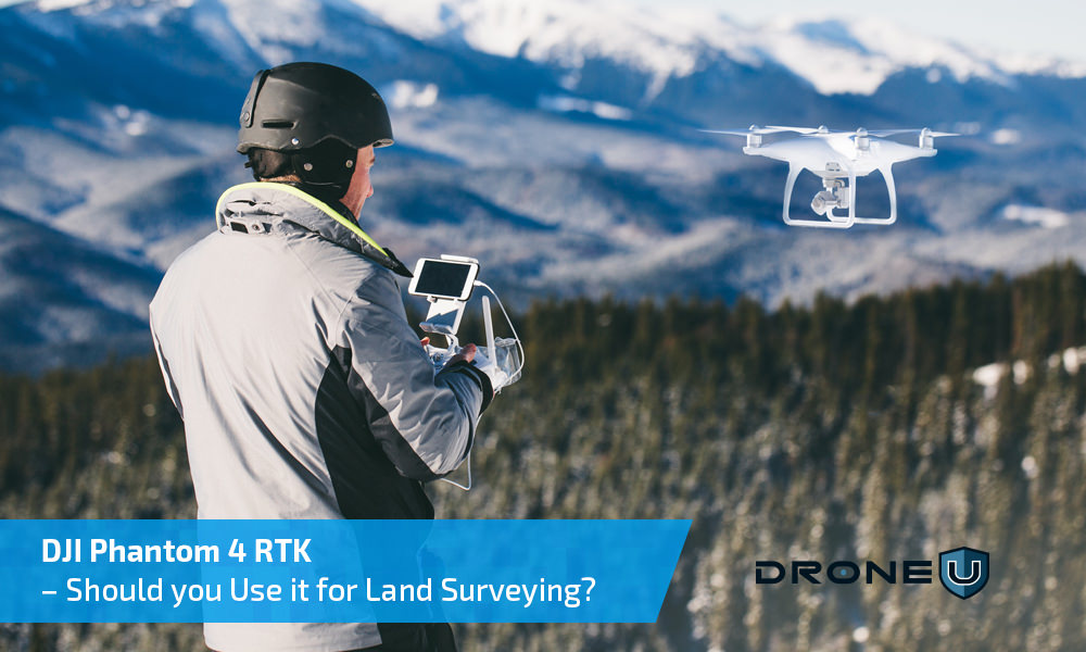
DJI Phantom 4 RTK – Should you Use it for Land Surveying?
The Phantom 4 RTK, launched in the latter half of 2018 was touted as the “Ultimate Mapping & Land Surveying Tool”. Does this drone live up to the hype? After extensive testing, we have discovered the essential pros & cons that will...

DJI Phantom 4 RTK Drone – All You Need to Know About This Surveying and Mapping Powerhouse
After the extremely successful launch of the Mavic 2, drone pilots were eagerly waiting to get their hands on the DJI Phantom 5. In the midst of all this, DJI sprung another surprise by launching the DJI Phantom 4 RTK drone. Like all DJI offerings, the...


 Explore more on Drone U


