The Ultimate Guide to Drone Inspections [2026]
March 19, 2026
![The Ultimate Guide to Drone Inspections [2026]](https://www.thedroneu.com/wp-content/uploads/2023/08/Drone-Inspections-guide-1024x597.jpg)
What Is a Drone Inspection?A drone inspection uses a UAV equipped with cameras or sensors to examine structures and assets from the air, eliminating the need for human inspectors to climb, work on scaffolds, or enter hazardous spaces. The workflow comprises three stages: plan (site survey, airspace authorization, flight path), capture (fly the asset and collect imagery or thermal data), and deliver (process the data into annotated reports that clients can act on). A Part 107 certificate is required for all commercial work in the US. |
In this guide, we’ll get a 360-degree understanding of Drone Inspection and how you can get started in this industry with a sense of clarity and ease.
Before delving into the specifics of drone inspection, let us take a look at how drone inspection works.
Every professional inspection follows the same five-stage process, regardless of asset type. Mastering each stage is what separates pilots who get repeat contracts from those who don’t.
1. Client Scoping & Site Survey
Before any flight, establish exactly what the client needs to make a decision. What asset? What defects are they looking for? What format does the report need to be in?
Once the scope is clear, conduct a desktop site survey using Google Earth or similar tools. Look for obstacles (trees, power lines, neighboring structures), and identify access points for takeoff and landing. Also, check proximity to airports using B4UFLY or Aloft, and review any relevant airspace restrictions. Doing this before you arrive on site prevents surprises that delay or cancel the job.
Common mistake: skipping the desktop survey and discovering a no-fly zone or a cell tower directly in your flight path on the day of the inspection.
Plan your flight path based on the asset. Think about its shape, size, and what you need to capture.
For mapping missions like roofs, solar farms, or construction sites, set your altitude, image overlap, and trigger interval in your flight app. An overlap of 80% or more (front and side) is standard. Use tools like DroneDeploy, Pix4Dcapture, or DJI Pilot 2 based on your setup.
For manual inspections like cell towers, plan your flight pattern. Decide your orbit heights and camera angles before you arrive. For example, you might fly a bottom-up spiral with the camera tilted outward at 30 degrees. This way, you follow a plan instead of guessing on-site.
If the site is in controlled airspace, get LAANC authorization ahead of time. Do not wait until you are on-site. Approval is often instant through tools like Aloft or AirHub. Some locations may need FAA approval, which can take 24–72 hours. Always check early.
Also, check the weather. Wind speeds above 15–20 mph can reduce image quality and increase risk. Cloud cover affects thermal inspections more than regular RGB imaging. For solar inspections, direct sunlight is important to detect temperature differences.
Arrive early so you have time to set up properly. Do not rush.
Run a full pre-flight check. Make sure props are secure, the camera is calibrated, batteries are fully charged, and memory cards are ready. Set your return-to-home altitude above the tallest obstacle nearby. Most issues happen when pre-flight steps are rushed.
During the flight, use manual exposure settings. Avoid auto-exposure, as it creates inconsistent images. This can cause problems in photogrammetry and thermal analysis. Set ISO, shutter speed, and white balance at the start and keep them fixed.
For inspections, fly in a structured way. Capture more images than you think you need. It is better to have extra images than to miss a critical angle. For cell towers, capture each antenna, cable, and connection point clearly. Do not rely only on wide shots.
Before leaving the site, review your data. Check image sharpness, coverage, and gaps. If something is missing, re-fly it immediately. Fixing it on-site takes minutes. Coming back later costs time and trust.
Processing turns raw images into usable outputs.
For mapping inspections like roofs, construction sites, or solar farms, use photogrammetry software. Common tools include Pix4D, DroneDeploy, and Agisoft Metashape. These tools create orthomosaics, point clouds, and 3D models.
Processing time depends on project size. A small residential roof may take 20 minutes. A large solar farm can take several hours.
For thermal inspections, use tools like FLIR Tools or the DJI Thermal Analysis Tool. These platforms support radiometric images.
Radiometric images store temperature data for every pixel. You can click any point and read its exact temperature. This helps you measure defects instead of guessing.
Use temperature differences to classify issues. A 5°C difference may indicate a warning. A 20°C difference usually signals a serious fault.
Analysis is where your expertise matters most. Mark defects directly on the images. Add boxes, labels, and short notes. Assign severity levels to each issue. Group findings by location on the asset. This helps clients match the report to the real structure.
A clear, annotated image set tells the full story. The client should not have to interpret raw data on their own.
The deliverable is what the client pays for, not the flight.
Do not send raw images without context. Instead, create a structured report. Include a summary, key findings, severity levels, and recommended actions.
Keep the report easy to understand. Assume the reader is not technical. They should understand the main issues in a few minutes. Then they can review details if needed.
Start with the most critical findings. Use images to support your points. Keep descriptions short and clear. For example:
“Flashing failure at north chimney — recommend immediate resealing.” is better than vague or technical language.
Share the report using a link, such as DroneDeploy, Google Drive, or a client portal. This avoids email limits and makes access easier.
Follow up within 48–72 hours. Confirm the client received the report and ask if they have questions. This simple step often leads to repeated work.
Software You Can Use for Data Processing and Analysis
Here are a few commonly used tools you can use to process and analyze drone inspection data:
Unsure about choosing a drone mapping software? Check out our comprehensive guide on drone mapping here!
This is where the rubber meets the road. Analyzing drone inspection data is a crucial step in the inspection process as it helps to identify and highlight areas of concern that may require further investigation or action.
Here are a few important techniques you can use to do so:
These techniques can help you effectively analyze and interpret your drone inspection data to ensure accurate inspections.
Creating useful reports and visualizations is an essential part of the drone inspection process, as it helps you communicate the findings to stakeholders effectively.
Here are some techniques to create these reports and visualizations:
Creating maps and 3D models of the inspection site is an effective way to visualize the data. It allows stakeholders to get a better understanding of the site and identify areas of concern quickly. This technique also helps create a baseline for future inspections.
Using color coding to highlight areas of concern is an effective way to draw attention to potential issues.
Heat maps can be created by analyzing data such as temperature, humidity, or moisture levels. It’s particularly useful for identifying patterns or trends over time.
Creating detailed reports that summarize findings and recommendations is essential to communicating the results of the drone inspection to stakeholders. Reports should be easy to understand and include visual aids such as charts and graphs.
What’s more, the reports should highlight the areas of concern and provide actionable recommendations to address them.
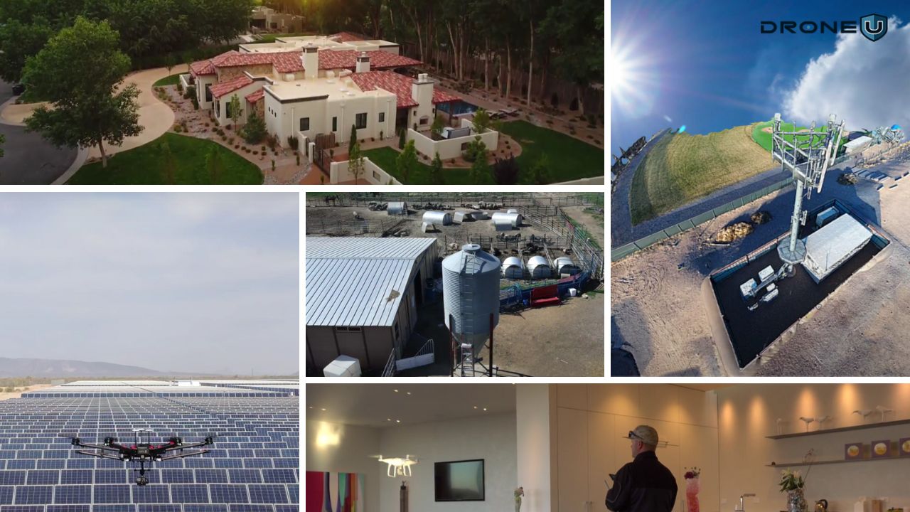
With a grasp of drone inspection technology, let’s explore its diverse uses in different sectors.
Drones are being used for inspections across different industries today. Some of these industries include:
The highest-volume entry point for new inspection pilots — scalable, repeatable, and in constant demand from insurance and roofing contractors
| Typical Flight Time | Altitude | Key Payload |
| 15–30 min per property | 50–120 ft AGL | RGB + thermal camera |
Common Roof Inspection Findings |
Primary Clients |
| Missing, cracked, or curled shingles | Insurance adjusters — post-storm claims |
| Flashing failures around chimneys and vents | Roofing contractors — pre-bid estimates |
| Water pooling and drainage issues | Property managers — portfolio assessments |
| Hail or storm damage patterns | Real estate agents — pre-listing inspections |
| Thermal anomalies indicating moisture intrusion | HOAs — community-wide annual reviews |
| Ridge and valley wear assessment++60 | Commercial building owners — compliance checks |
| Typical pricing: $150–$400 per residential roof · $400–$1,200 for commercial · Insurance adjusters often contract in bulk (10–50 properties per event) at $100–$200 each. |
| Thermal adds significant value: A thermal camera reveals moisture trapped beneath roofing material that RGB imagery misses entirely. Adding thermal to your roof inspection deliverable justifies a 40–60% price premium and sets you apart from pilots using a basic camera-only workflow.
See how thermal imaging works in practice in our best thermal drones for construction guide. |
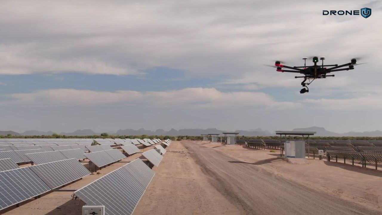
A technically demanding but highly profitable niche — thermal imaging is mandatory, and large utility-scale farms create repeat-visit revenue
| Critical Payload | Optimal Time | Best Weather |
| Thermal (radiometric FLIR) | Solar noon ±2 hours | Clear sky, low wind (<15 mph) |
Solar Defect Types (What thermal reveals) |
Primary Clients |
| Hot spots — single-cell failures causing heat | Solar installation companies — post-install QC |
| Bypass diode failures — module-level heating | Asset management firms — portfolio performance |
| Delamination — moisture in the cell laminate | Utility companies — large farm annual reviews |
| Hail or storm damage patterns | Operations & maintenance contractors — fault-finding |
| String failures — entire row of cells offline | Insurance underwriters — damage assessment |
| Soiling and shading loss — uneven temperature | EPC firms — construction-phase defect tracking |
| PID (Potential Induced Degradation) — voltage stress damage |
| Typical pricing: Residential solar ($200–$500) · Commercial rooftop ($500–$2,000) · Utility-scale farms are priced per MW — typically $500–$1,500 per MW inspected, meaning a 50 MW farm generates $25,000–$75,000 per inspection. |
| Key Technical Requirement
Radiometric thermal cameras (not basic thermal) are required for solar inspections — they record the actual temperature of each pixel, enabling precise defect classification in post-processing. The DJI Zenmuse XT2, H20T, and Workswell WIRIS Pro are standard choices. Without radiometric capability, your reports cannot quantify defect severity. Read more in our best thermal drones guide. |
High-risk structures that previously required dangerous manual climbs, drone inspection eliminates that risk and creates consistent contract opportunities with carriers
| Structure Height | Key Skill | Key Payload |
| 100–2,000 ft AGL | Precision close-up orbits | High-zoom RGB camera |
Typical Tower Inspection Findings(What clients need documented) |
Primary Clients |
| Antenna alignment and azimuth verification | Tower owners (Crown Castle, SBA, American Tower) |
| Coaxial cable and connector condition | Wireless carriers (AT&T, Verizon, T-Mobile) — field ops |
| Corrosion on structural steel members | Tower maintenance contractors |
| Guy wire tension and anchor condition | Municipal utilities — public safety towers |
| Safety lighting compliance (FAA requirements) | Broadcast companies — TV and radio towers |
| Bird nesting and RF interference sources | Rural electric cooperatives — communication towers |
| Typical pricing: $300–$800 per tower for a standard visual inspection · $800–$2,500 for detailed close-up documentation with annotated reports · Tower management companies often contract in batches of 20–100+ sites per quarter. |
| Safety note: Cell tower inspections require flying in proximity to high-voltage and RF-emitting equipment. Best practices include checking with the tower owner about active transmitters, maintaining safe standoff distances from antenna arrays, and never flying directly above active antennas. Many tower companies require pilots to complete their own safety orientation before work begins. Make sure your Part 107 certificate is current before approaching tower clients. |
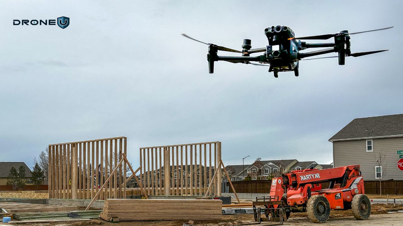
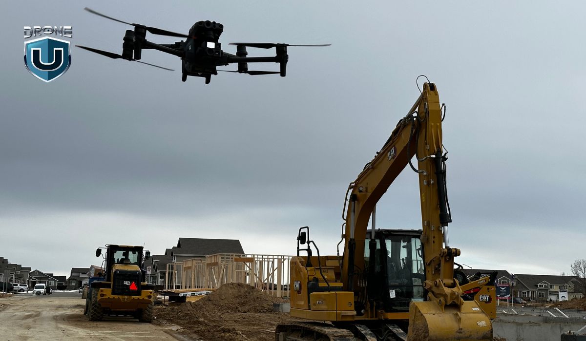
Drone construction inspections offer a safer and more efficient way to track project progress, inspect structures, and manage logistics.
| Contract Duration | Visit Frequency | Key Deliverable |
| Weeks to years (ongoing) | Weekly to monthly | Orthomosaic + progress report |
Common Deliverables (What Construction Clients Need) |
Primary Clients |
| Weekly orthomosaic progress photos | General contractors — progress reporting |
| Earthwork volume calculations (cut & fill) | Civil engineering firms — earthwork verification |
| 3D site model for clash detection | Developers — investor and lender reporting |
| Safety hazard documentation | Project owners — independent oversight |
| Stockpile inventory measurements | Safety managers — site hazard monitoring |
| As-built verification vs. engineering plans | Subcontractors — specific scope documentation |
| Typical pricing: $500–$1,500 per site visit for progress documentation · Volume calculations add $500–$2,000 per report · Monthly retainer contracts (4 visits/month) can be structured at $2,000–$8,000/month depending on site size and deliverable complexity. |
| Accuracy Requirement
Construction clients often require survey-grade accuracy for volume calculations and as-built verification. This means RTK or PPK positioning plus ground control points — and independent checkpoints for validation. See our full guide to drone mapping accuracy before quoting construction inspection work that includes measurements. |
Mining operations use drones for stockpile volume measurement, site mapping, and safety assessments of unstable terrain. LiDAR-equipped drones can create precise 3D models of open-pit mines and underground stope areas, providing safety data without putting surveyors at risk.
Stockpile monitoring is particularly valuable. Accurate volume measurements help mines track inventory, reconcile production data, and report to regulators. A drone can measure an entire stockpile yard in under an hour. The same job by ground survey takes a full day.
See our drone mapping guide for the photogrammetry workflow behind volumetric measurements.
Who hires you: Mining companies, quarry operators, and survey firms contracted by mining clients. Like oil and gas, this niche often requires additional site-specific safety inductions before a pilot can work on a mine site.
Insurance is one of the fastest-growing markets for drone inspection pilots. After storms, fires, or flooding, adjusters need property damage documented quickly, often across dozens or hundreds of properties at once. Drones can cover a storm-damaged neighborhood in a fraction of the time a ground crew would take.
The primary deliverable is high-resolution imagery with geo-tagged damage documentation. Speed matters here; claims that are documented faster get processed faster. Insurance companies pay a premium for pilots who can mobilize quickly after a major weather event.
Who hires you: Insurance adjusters, claims management firms, and catastrophe response companies. Bulk contracts of 20–100+ properties per event are common. This is one of the best entry points for pilots building their first inspection client base.
Pipeline and oil rig inspections are hazardous for human crews. Drones eliminate that risk. A drone can inspect a pipeline corridor, check flare stacks, or assess a remote wellhead without putting anyone in a dangerous environment.
Thermal cameras are especially useful here. They detect heat signatures from leaks, equipment faults, and overheating components that would be invisible to a standard camera. Many oil and gas inspections also involve confined spaces like tanks and vessels, where GPS-denied drones such as the Flyability Elios 3 are used.
Who hires you: Pipeline operators, energy companies, inspection subcontractors, and HSE (Health, Safety, and Environment) teams. This is a high-barrier-to-entry niche — clients typically require specific industry training and insurance beyond standard aviation liability.
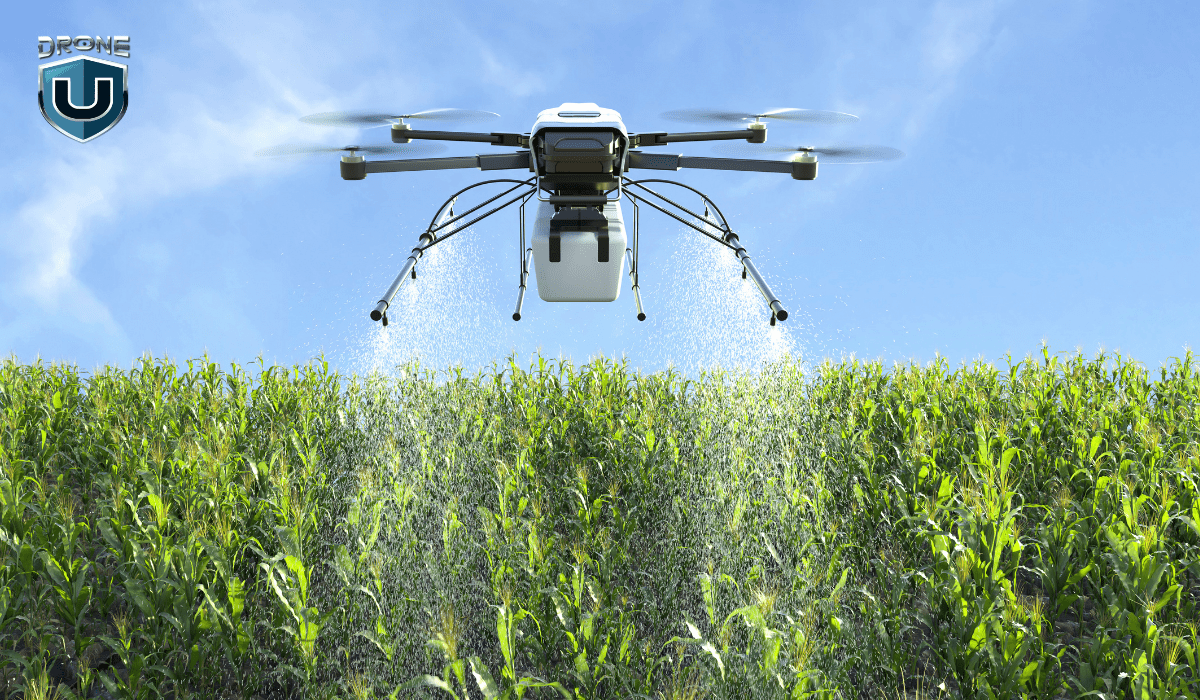
Drones give farmers a detailed view of crop health, soil conditions, and irrigation systems across large areas, without walking every row. Multispectral cameras detect plant stress before it’s visible to the naked eye. This lets farmers treat problems early, reducing crop loss and input costs.
Beyond monitoring, drones are used for precision spraying. Rantizo received BVLOS approval in 2024 specifically for agricultural spraying, a signal that large-scale autonomous agricultural drone operations are now commercially viable. See our agriculture drones guide for equipment and workflow details.
Who hires you: Farmers, agricultural co-ops, agronomy consultants, and crop insurance adjusters. Contracts tend to be seasonal but recurring — the same farms need monitoring every growing season.
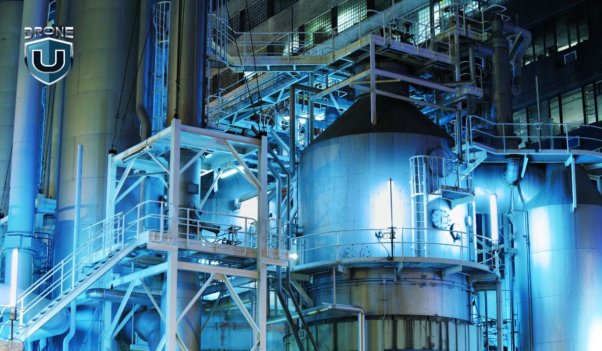
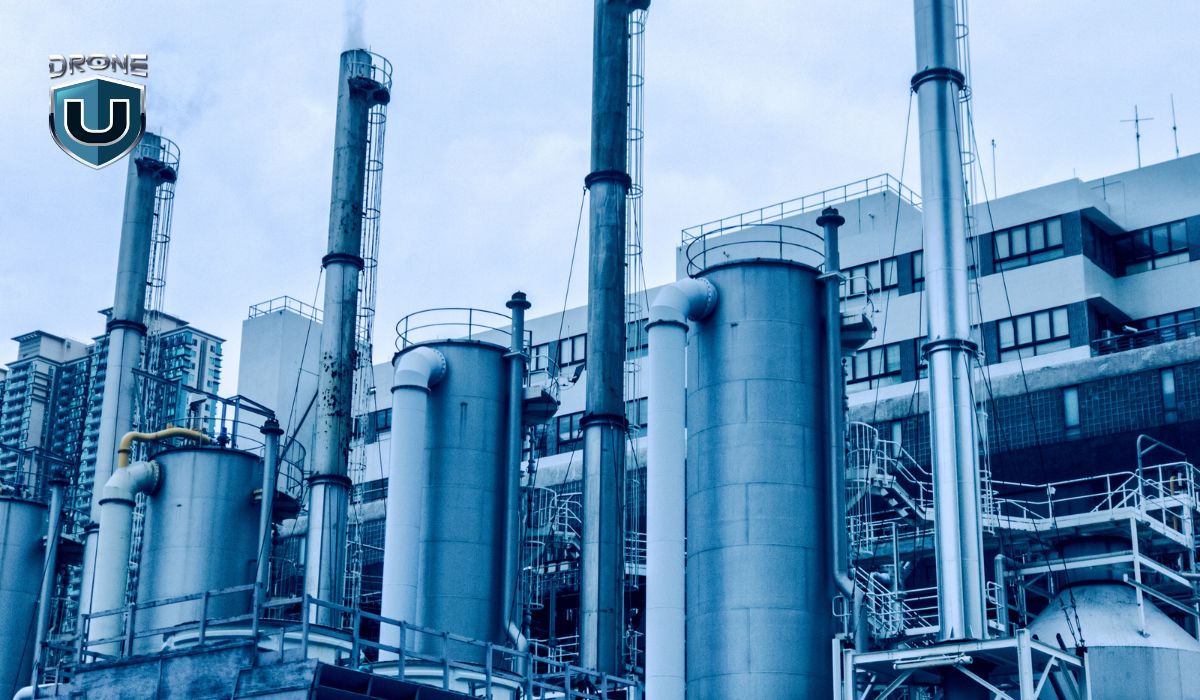
Drones can also be used to inspect facilities such as pipe racks, storage tanks, and processing plants.
The primary advantage of this is that it reduces the need for human inspectors to enter potentially dangerous environments where they can be exposed to hazardous materials.
They deliver valuable visual data that can aid effective site planning, identify potential safety hazards, and ensure accurate reporting to customers and stakeholders.
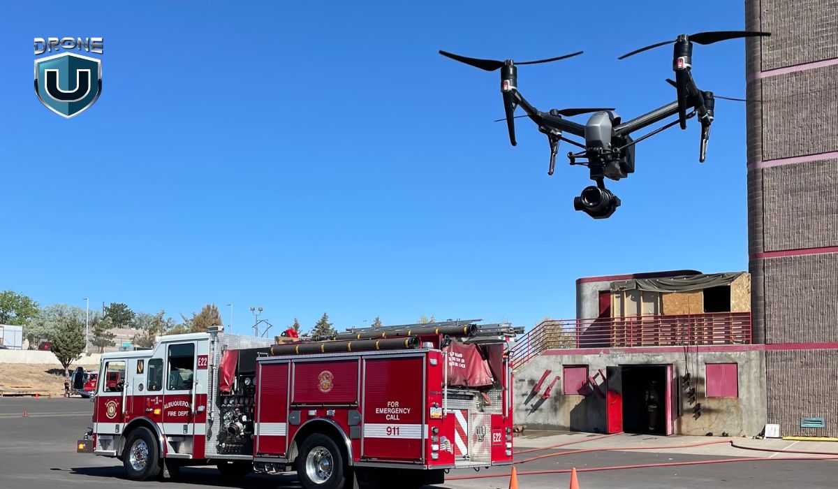
Law enforcement, fire departments, and emergency management agencies use drones for surveillance, damage assessment, search and rescue, and monitoring active incidents. A drone overhead gives first responders real-time situational awareness they cannot get any other way.
After major events, such as wildfires, floods, and structural collapses, drones assess conditions in areas too dangerous for human entry. Thermal cameras locate survivors in low-visibility environments. This is one of the clearest examples of drones saving lives directly. See our drones and public safety guide for more details.
Who hires you: Police departments, fire services, emergency management agencies, and municipalities. Many agencies operate their own fleets, but also contract independent pilots for surge capacity or specialist equipment.
Power companies use drones to inspect assets that are difficult, dangerous, or expensive to access manually, such as power lines, wind turbines, solar installations, chimneys, and hydropower infrastructure. A drone can inspect an entire wind turbine blade for surface cracks and erosion in 20 minutes. The same inspection by rope access takes half a day and costs significantly more.
Power line inspection is a particularly strong opportunity. Lines stretch for miles, and drones can follow the corridor continuously — checking for damaged insulators, vegetation encroachment, and structural wear along the entire span.
Who hires you: Utility companies, independent power producers, wind farm operators, and energy infrastructure maintenance contractors. These clients typically run repeat inspection programs on fixed schedules — making this a strong source of recurring contract revenue.
Bridges, roads, railways, dams, and water treatment facilities all require regular inspection to meet safety and compliance standards. Traditional methods involve lane closures, scaffolding, and rope access, all expensive and disruptive. Drones eliminate most of that overhead.
Bridge inspection is a strong niche. Drones can capture the underside of a bridge deck, assess bearing conditions, and document cracking or spalling without closing traffic lanes or deploying an inspection vehicle. The data feeds directly into the bridge management systems that state and federal agencies use for maintenance planning.
Who hires you: State and local transportation departments, civil engineering firms, utilities, and government contractors. Procurement often requires certifications beyond Part 107. Check individual agency requirements before pursuing public infrastructure contracts.

Equipment choice depends on the inspection type. A single drone rarely covers every use case. Here is the current standard equipment for each major inspection category.
Inspection Type |
Recommended Drones |
Key Capability |
| Roof (residential) | DJI Mavic 3 Pro, Autel Evo II Pro, Parrot ANAFI | Portability, long flight time, 4K stabilized camera |
| Roof(commercial/thermal) | DJI Matrice 30T, DJI M3T, DJI Mavic 3 Thermal | Dual RGB + radiometric thermal in one payload |
| Solar panel | DJI Zenmuse H20T, DJI M3T, Workswell WIRIS Pro on M300 | Radiometric thermal — absolute temperature per pixel |
| Cell tower | DJI Mavic 3 Enterprise, DJI M30T, Skydio X10 | High optical zoom (~56x), GPS accuracy, obstacle avoidance |
| Construction/mapping | DJI Phantom 4 RTK, DJI Matrice 350 RTK, WingtraOne | RTK positioning, survey-grade accuracy, large area coverage |
| Bridge/confined spaces | Flyability Elios 3, DJI Matrice 300 RTK + Zenmuse P1 | Collision tolerance (Elios), LiDAR point cloud capture (P1) |
All commercial drone inspection work in the United States requires a valid FAA Part 107 Remote Pilot Certificate. Flying commercially without it is a federal violation and exposes you and your client to significant liability.
Required for any commercial drone operation. Obtained by passing the FAA aeronautical knowledge test ($175). Renew via free online recurrent training every 24 months. Read our Full guide on Part 107 license.
Any drone over 0.55 lbs used commercially must be registered with the FAA ($5 per aircraft, valid 3 years). The registration number must be marked on the aircraft.
Inspections near airports or in controlled airspace require FAA authorization, available in minutes via LAANC through apps like AirHub, Aloft, or Kittyhawk. For deeper information, read our full guide on LAANC authorization.
Commercial inspection work requires aviation liability insurance. Most clients and enterprise contracts require a minimum of $1M per occurrence. Hull coverage protects your equipment. Budget $500–$1,500/year for a basic commercial policy.
Client contracts matter as much as regulations
Before any commercial inspection, have a signed service agreement that defines deliverable scope, data ownership, liability limits, and payment terms. Many inspection pilots lose money not from bad flights, but from scope creep, data disputes, and unpaid invoices.
Click here for more information on FAA drone regulations.
Also, keep in mind that regulations can vary depending on the industry, state, and type of drone mission being undertaken. Please check local regulations or consult an attorney before flying.
Drone inspection technology is moving quickly. What pilots use today is already more capable than most of the market takes advantage of. The next few years will push that gap even further.
Here’s what we think in terms of the future outlook of drone inspection:
AI is changing how inspection data gets analyzed. Instead of a pilot reviewing hundreds of images manually, software can flag defects automatically. You can identify cracks, corrosion, and thermal hot spots in minutes rather than hours. Platforms like DroneDeploy and Skydio are already embedding this into their workflows.
For pilots, this shifts the job. Less time on image review. More time on interpreting findings and communicating with clients.
Light Detection and Ranging (LiDAR) sensors produce precise 3D point clouds of structures. They measure exact dimensions rather than estimating from overlapping photos. This matters for bridge inspections, structural assessments, and any project where dimensional accuracy is critical.
Hardware costs have dropped significantly. LiDAR payloads that cost $80,000 five years ago are now available for under $20,000. That makes them a realistic investment for independent operators targeting engineering and infrastructure clients.
AR tools overlay drone inspection data directly onto a 3D model of the structure. A maintenance crew can walk the site with a tablet and see each defect pinned to its exact location on the real building or asset. This closes the gap between the inspection report and the repair team. Instead of interpreting a PDF, they can see exactly what needs fixing and where.
Swarm technology lets multiple drones operate simultaneously from a single operator. A swarm can cover a large solar farm or a long pipeline in a fraction of the time a single drone takes.
The technology is ready. US regulations for multi-drone operations are still catching up. Operators who build experience in utility-scale energy and large infrastructure now will have a clear head start when the rules are in place.
Drone-in-a-box systems are permanently deployed drones that launch, fly a mission, and recharge automatically. No pilot on site required. They are already operating in utility and security inspection applications.
Routine, repetitive inspection routes will increasingly be automated this way. But setting up, calibrating, and managing these systems still requires human expertise. Pilots who understand the full inspection workflow will move into managing these systems rather than competing against them.
5G enables higher-bandwidth data transmission from drones in real time. For inspection work, this means live thermal feeds, faster data handoff, and real-time analysis during the flight itself. It also extends reliable command and control range in urban areas. That becomes especially relevant as Part 108 opens new corridors for BVLOS inspection operations.
The drone inspection market is growing fast. According to Research and Markets, it was valued at $9.94 billion in 2024. By 2028, it is projected to reach $18.94 billion, roughly 19% annual growth.
Three things are driving that growth.
Inspection tasks that once required a full day of rope access or scaffolding can now be completed in under an hour. Across roofing, solar, and cell tower work, operators consistently report cost savings of 70–90% compared to traditional methods.
Nine industries are currently driving the most inspection demand: construction, energy (solar and wind), telecommunications, insurance, oil and gas, agriculture, mining, public infrastructure, and public safety.
Construction and energy are the fastest-growing segments for independent pilots. Both involve repeat visits on a fixed schedule, which means steady recurring revenue rather than one-off jobs.
For US operators, one credential unlocks all of it: a valid FAA Part 107 Remote Pilot Certificate. Without it, no commercial inspection work is legal — regardless of client, asset, or location.
Drone inspection has emerged as a powerful and reliable solution for inspection and data analysis in different industries.
By mastering the art of drone inspections, you can help businesses improve their safety protocols, increase efficiency, and save time and money.
Ready to Build a Drone Inspection Business?Drone U’s inspection and business courses cover every use case, such as thermal, structural, construction, and enterprise, plus how to price, pitch, and close inspection contracts. |


Add Your Comment