Comprehensive Mapping
In this aptly titled "comprehensive" course, we deep dive into all things drone mapping from acquisition, to processing, to delivery. Whether you want to use mapping for construction, tower inspection, volumetric work, or Hollywood productions, we will show you from personal experience, testing, trial, error, and success how to map complex objects, structures, and large areas. You’ll also learn how to process the vast amount of data collected so you can process and deliver amazing, lifelike models. This is THE drone mapping course you’ve been looking for.

Cell Tower Mapping
Cell Tower Mapping is a lucrative but complicated field. In this class, we show you how to accurately map a vertical structure without compromising on safety. Learn about photogrammetry basics, hardware and software requirements, industry legalities, data processing and much more from the best in the industry. This class is loaded with Tips and Tricks guaranteed to give you the competitive advantage.

Drone Comparison — How Does the Yuneec Compare to Phantom 4 Pro and Inspire?
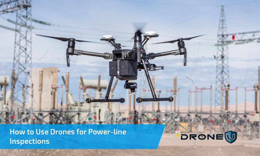
How to Use Drones for Power-line Inspections
Drones have the potential to revolutionize the way we inspect our power-lines and transmission towers. According to Navigant Research, using a drone can slash costs from $5,000 to $200 for a single transmission tower inspection. And we get far more...