
Class G Airspace: A Comprehensive Guide for Drone Pilots (2026)

August 26, 2025
Quick Answer: Class G AirspaceClass G airspace is the only uncontrolled airspace in the United States. Air Traffic Control (ATC) does not manage aircraft in it, and drone pilots do not need FAA authorization or LAANC approval to fly here. Where it is: Rural areas, farmland, forests, deserts, and any area away from airports and major cities. It fills the gaps where Class B, C, D, and E airspace do not exist. Altitude limit: 400 feet AGL. Exception: up to 400 feet above a structure when flying close to it. Key rules still apply: Part 107 or recreational rules, 3 mile visibility, cloud clearance, visual line of sight, and Remote ID. Apps to confirm Class G: B4UFLY, Aloft (formerly Kittyhawk), SkyVector. |
Class G airspace is the only uncontrolled airspace in the United States. Drone pilots can fly here without FAA authorization or LAANC approval, as long as they follow standard Part 107 or recreational rules.
It’s the one airspace where drone pilots have the most freedom.
But here’s the catch. “Uncontrolled” doesn’t mean “unrestricted”. Even in Class G, you still need to follow safety rules and FAA requirements, including Remote ID, to keep your flights safe and legal.
In this comprehensive guide, we’ll explain what Class G airspace is, how to identify it, and the key regulations every drone pilot needs to know before flying.
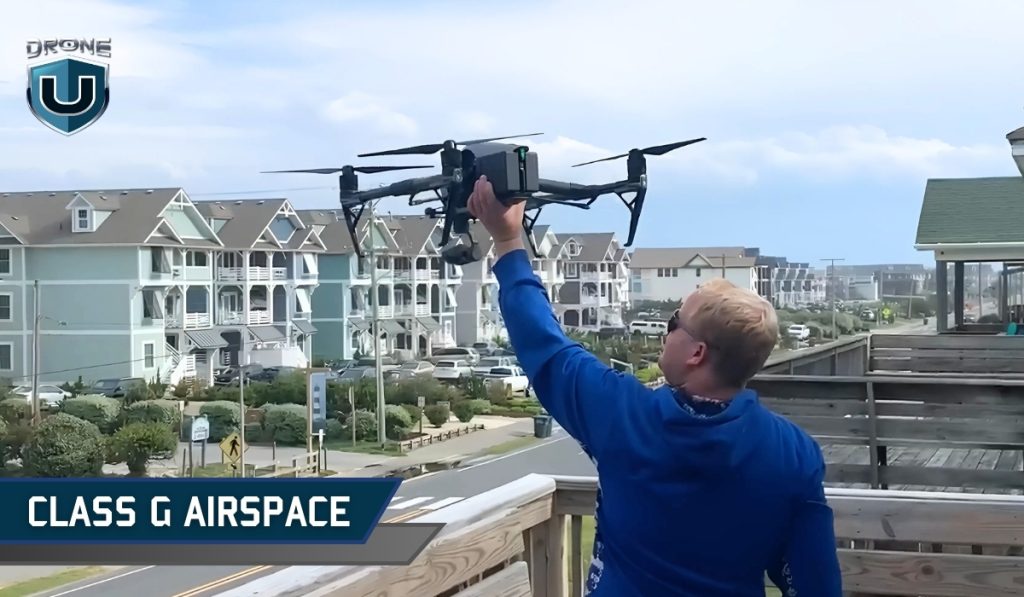
Class G (Golf) airspace is the only uncontrolled airspace in the United States. This means that air traffic control (ATC) does not manage or control aircraft in it.
But “uncontrolled” does not mean “no rules.” It simply means ATC does not actively direct traffic in Class G airspace.
They can provide traffic advisories or flight information if requested, but they have no authority to manage aircraft in this airspace.
So, no radar coverage, no control tower giving instructions, and no FAA authorization required. As long as you follow the FAA’s Part 107 rules, or recreational flyer rules, you’re clear to fly.
Class G isn’t just for hobbyists. Many Part 107 commercial operations, like agriculture, real estate photography, and land mapping, also take place in this airspace.
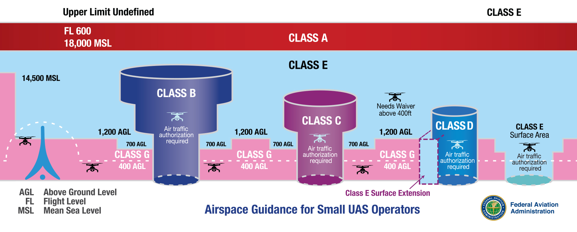
Class G airspace fills in the gaps where controlled airspace doesn’t exist. In other words, it’s the space outside of Class B, Class C, Class D, or Class E airspace.
You’ll typically find Class G airspace at lower altitudes, close to the ground, and often in sparsely populated areas. It covers rural areas, farmlands, remote valleys, forests, deserts, and even stretches along coastlines.
If you’re flying in the middle of nowhere, and far from airports or major cities, you are in Class G airspace.
Not sure how Class G compares to other types? Our full guide to U.S. airspace classes breaks down the differences.
Now that you know what Class G airspace is, let’s talk about what matters when you’re flying a drone in this airspace.
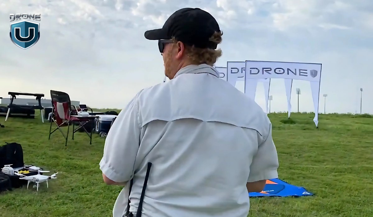
No ATC clearance is needed in Class G, but it is not a free-for-all.
The FAA still expects drone pilots to follow standard safety guidelines, altitude limits, and visibility requirements.
Here are a few baseline safety regulations every drone pilot should know:
Even in uncontrolled airspace like Class G, you must meet specific visibility requirements. These are designed to keep you and other aircraft safe in the sky.
When flying in Class G airspace below 1,200 feet AGL (during the day):
If flying above 1,200 feet AGL and at or above 10,000 feet MSL:
Why does this matter?
Low-flying manned aircraft, like helicopters, crop dusters, or medical transport flights, also use this airspace. Good visibility and separation from clouds help you see them (and let them see you) before it’s too late.
In Class G airspace, you have more freedom, but that doesn’t mean you can fly as high as you want. The FAA sets a hard limit: you must keep your drone at or below 400 feet AGL.
There’s only one exception: When near a structure, you can fly up to 400 feet above it.
For example: If you’re inspecting a 300-foot radio tower, you can fly up to 700 feet AGL, but only while staying close to the tower.
In addition to the height limit, you must also keep your drone within your visual line of sight (VLOS). You must see your drone with your own eyes the whole time, not through goggles, screens, or binoculars.
If you lose visual contact, even for a second, you’re out of compliance. So avoid flying behind hills, buildings, or trees that might block your view.
Together, the altitude and line-of-sight rules help prevent drone accidents and mid-air conflicts with low-flying manned aircraft, which often operate in Class G airspace.
Another rule worth noting here is Remote ID. Even though Class G doesn’t require FAA authorization, most drones still need to broadcast identification and location while flying. This ensures accountability and helps authorities keep the skies safe.
Alright, so now that you know the rules for flying safely in Class G airspace, the next big question is:
Sectional charts are a primary tool to identify controlled airspace classes (like B, C, D, and E) with various lines, shadings, and symbols. Class G does not appear on charts directly because it exists wherever controlled airspace does not.
If you’re looking at a piece of land on a sectional chart and don’t see any shaded rings or special markings, that area is likely Class G airspace.
In other words, from the surface up to the next controlled layer, you’re in Class G airspace.
However, you can still use a sectional chart to identify class G airspace. Here’s how:
A fuzzy magenta ring on a chart indicates that Class E airspace starts at 700 feet AGL. Everything below that ring is Class G.
A fuzzy blue ring means that Class E airspace starts at 1,200 feet AGL. Again, everything below that is Class G.
Solid lines (magenta or blue) often outline Class C or D airspace. These zones typically sit around towered airports, and Class G airspace exists outside these zones.
If you see no rings or shading, and you’re looking at a remote or rural area, it means the airspace is Class G from the surface to either 700 or 1,200 feet AGL.
In extremely remote areas (like forest zones, deserts, or mountainous regions), Class G airspace may extend all the way up to 14,500 feet MSL. This situation is rare and usually happens only where no other controlled airspace exists above it.
Tools like SkyVector, VFRMap, and ForeFlight let you view sectional charts online and zoom into specific areas. But for most drone pilots, FAA-approved apps like B4UFLY or Aloft(Kittyhawk) are the simplest way to confirm whether you’re in Class G.
If you’re just starting with drones or are an experienced pilot under Part 107, Class G airspace gives you the most flexibility. It’s the zone where the FAA steps back, and you take full responsibility for flying safely.
Here’s why Class G airspace is often the easiest and most flexible space for drone pilots to work in:
In controlled airspace like Class B, C, D, or surface-level Class E, you must get FAA authorization before you fly. That usually means using LAANC or going through the FAA’s DroneZone, which can take time, especially for manual approvals.
In Class G, there’s no waiting. You can launch your drone immediately.
No need to file any permit requests. As long as you’re following Part 107 rules (or flying recreationally under the Exception for Limited Recreational Flyers), you’re clear for takeoff.
Controlled airspace usually surrounds busy airports, major cities, and high-traffic corridors. That’s where you’ll find more manned aircraft, planes, helicopters, and even emerging air taxis flying. As a drone pilot, that creates risk and extra pressure to stay aware.
Whereas, Class G airspace usually covers remote and rural areas, far away from commercial airports. This makes it less likely you’ll encounter frequent low-flying aircraft.
This combination of freedom and reduced risk is what makes Class G so appealing to drone pilots.
Class G airspace offers something every drone pilot values most: the freedom of flying. But with that freedom comes responsibility. Even though Class G airspace is uncontrolled, it’s not unregulated.
You hold full responsibility for flying safely, spotting other aircraft, and knowing where you can and cannot fly. It also means recognizing Class G airspace on a sectional chart so you don’t accidentally drift into restricted airspace.
Want to learn more about airspaces and how to fly a drone like a pro?
Explore our drone pilot training programs here.
 2
2