

How to Read a Sectional Chart for Drone Pilots (Part 107, 2026)

October 8, 2026
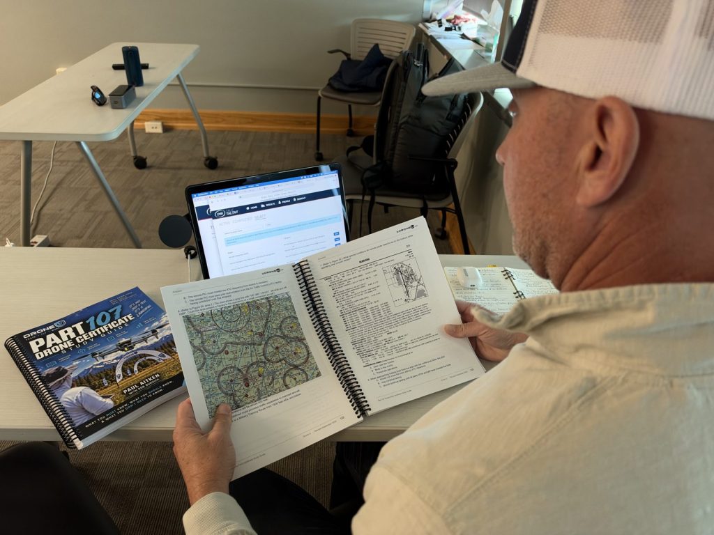
If you’re learning how to read a sectional chart for your Part 107, you’re learning the skill the FAA tests hardest, and the one you’ll actually use before every commercial flight. At first, a sectional looks like a mess of blue and magenta lines. Once you know the code, though, it tells you exactly where you can fly, where you need permission and what’s sticking up out of the ground.
This guide follows the FAA’s own Aeronautical Chart User’s Guide: legend first, then airspace, airports, obstacles and special use airspace. We’ll also keep it drone-focused, because a drone at 400 feet cares about different things than an airplane at 4,500.
A Sectional Aeronautical Chart (a “sectional”) is the FAA’s standard map for pilots flying by sight under Visual Flight Rules (VFR). Each one is named after a major city in its coverage area, such as Denver, Phoenix or New York. So the first step in how to read a sectional chart is simply finding the right one.
Here’s what the FAA’s Chart User’s Guide says you need to know up front:
That last point trips up new drone pilots, because your 400-foot limit under Part 107 is measured above ground level (AGL). So when the chart says a shelf of airspace starts at 3,000 feet MSL and the ground below is at 1,000 feet, the floor is really 2,000 feet above you.
You can download every current sectional for free from the FAA’s VFR Raster Charts page, as a PDF or a GeoTIFF. As of this writing, the current editions are dated September 3, 2026, and the next editions take effect October 29, 2026. Therefore, always check the date before you plan a job.
Want a structured way to learn all of this? Our Part 107 course with chart-reading lessons covers sectional charts, controlled airspace and weather, the areas we consider the toughest on the test.
Airspace is the heart of the chart for drone pilots. Under 14 CFR 107.41, you need prior ATC authorization to fly in Class B, Class C or Class D airspace, or within the lateral boundaries of a Class E surface area designated for an airport. Everywhere else in the low-altitude world, by contrast, you’re generally in Class G or non-surface Class E, and no authorization is required.
That’s why the first job, when you’re figuring out how to read a sectional chart near an airport, is simple: find the lines and figure out which class you’re inside. For the full breakdown of each class, see our guide to airspace classes explained.
Class B surrounds the busiest airports. On a sectional, it’s drawn with solid blue lines, and each sector is labeled with its ceiling over its floor in hundreds of feet MSL. For example, a label of 100 over 40 means that shelf runs from 4,000 feet MSL up to 10,000 feet MSL. In other words, think of it as an upside-down wedding cake: the bottom layer touches the surface near the airport, and the outer layers start higher. Our Class B airspace guide goes deeper.
Class C follows the same ceiling-over-floor format, but in solid magenta. A floor of “SFC” means the airspace starts at the surface. Meanwhile, a ceiling of “T” means it extends up to, but not including, the floor of the Class B above it.
Class D surrounds smaller towered airports. Typically, it’s drawn with a dashed blue line, and the ceiling appears in a dashed box in hundreds of feet MSL. A minus sign in front of the number, such as -27, means “from the surface up to, but not including, 2,700 feet MSL.” When a Class D isn’t in effect full time, a note on the chart refers you to NOTAMs and the Chart Supplement for its hours.
Class E has several looks, and in our experience this is where most mistakes happen:
Inside a magenta vignette, the airspace from the ground up to 700 feet AGL is Class G. In other words, at 400 feet you’re under the Class E floor, not in it.
Class G isn’t outlined at all. Instead, you identify it by what’s left: the airspace below those 700- and 1,200-foot Class E floors. The FAA’s guide notes Class G can extend up to 14,500 feet MSL in some areas. Similarly, Class A (18,000 feet MSL up to FL600) isn’t depicted on VFR charts, and it’s far above anything a drone will touch. Our Class G airspace guide covers it in drone-pilot terms.
| Airspace | How it looks on a sectional | ATC authorization under Part 107? |
|---|---|---|
| Class B | Solid blue lines, ceiling/floor in hundreds of feet MSL | Yes |
| Class C | Solid magenta lines, ceiling/floor in hundreds of feet MSL | Yes |
| Class D | Dashed blue line, ceiling in a dashed box | Yes |
| Class E surface area | Dashed magenta line | Yes |
| Class E at 700 or 1,200 ft AGL | Magenta or blue vignette | No (you’re in Class G below the floor) |
| Class G | Not drawn; the airspace below Class E | No |
When authorization is required, many pilots get it through LAANC, which can approve requests in near real time at participating airports. Our guide to LAANC authorization walks through the process.
Next, look at what’s on the ground. After all, for drone pilots, airports and obstacles matter more than almost anything else on the chart.
Color tells you the most important thing at a glance. Specifically, airports with control towers, and their data, are shown in blue. All other airports are shown in magenta.
Beside each airport is a data block. According to the FAA’s guide, it can include:
Why should a drone pilot care about a CTAF? Because you’re sharing low altitude with airplanes using that frequency, and the test asks about it. It also shows up in the FAA’s own sample chart questions for the new test format.
Towers, stacks, wind turbines and other obstructions get their own symbols, with a separate symbol for obstacles 1,000 feet AGL or higher. The bold number is the top of the obstacle in feet MSL, while the number in parentheses below it is the height above the ground.
A few details from the FAA’s guide that matter in the field:
In short, an obstacle that isn’t on the chart can still be there. The chart is a planning tool—not a substitute for walking the site and looking up.
Maximum elevation figures are the large blue numbers in the middle of each grid quadrant, bounded by lines every 30 minutes of latitude and longitude. Each one shows the highest elevation in that quadrant, including terrain and obstacles, rounded up to the next 100 feet. The last two digits are dropped, so a large 13 with a small 5 means 13,500 feet MSL.
For drone pilots, then, the MEF is a quick reality check in unfamiliar terrain—and it’s fair game on the test.
Special use airspace (SUA) marks areas where flight activities are confined or restricted. Once again, the FAA’s guide breaks it down by color:
Under 14 CFR 107.45, you can’t fly in prohibited or restricted areas without permission from the using or controlling agency. MOAs and alert areas aren’t off limits under Part 107. However, military training may be underway inside them, so check whether the area is active before you launch.
Watch for these other markings, too:
Here’s the catch: a sectional is updated every 56 days, and many Temporary Flight Restrictions (TFRs) pop up and expire in between. As a result, the FAA’s guide says only TFRs relating to national security are charted. You may also see a magenta stadium symbol marking a sporting event TFR site, but the chart can’t tell you when it’s active. A TFR is a type of Notice to Airmen (NOTAM), and 14 CFR 107.47 requires you to comply with TFRs.
So before every flight, check the FAA’s TFR list and current NOTAMs.
Starting October 26, 2026, the Part 107 knowledge test adds image-based questions drawn from current sectional charts, not just the printed testing supplement. We break down what that means in our post on the Part 107 test changes.
That change rewards pilots who truly know how to read a sectional chart, rather than those who memorized a few supplement figures. Here’s how we practice:
After that, test yourself under a timer with our free Part 107 practice test. If chart questions are where you lose points, then you know exactly what to review.
How often are sectional charts updated?
Every 56 days. In addition, the FAA posts current and next editions on its VFR Raster Charts page.
How is Class G airspace depicted on a sectional?
It isn’t drawn directly. Instead, it’s the airspace below the Class E floors shown by magenta (700 feet AGL) and blue (1,200 feet AGL) vignettes, or below 1,200 feet AGL where no other floor is shown.
Do I need authorization to fly in Class E airspace?
Only within the lateral boundaries of a Class E surface area designated for an airport, shown by a dashed magenta line. Elsewhere, Part 107 doesn’t require ATC authorization for Class E.
Does a sectional show TFRs?
Only TFRs related to national security. That’s why part of how to read a sectional chart is knowing what it leaves out, so check the FAA’s TFR list and NOTAMs before every flight.
Knowing how to read a sectional chart is what separates a pilot who guesses from a pilot who plans. Plus, it’s the most changed part of the Part 107 test this fall.
Drone U has 10+ years of in-person drone training and 14+ years of online drone education. That’s why we teach chart reading the way we use it in the field.
Practice chart questions with instructor walkthroughs in the Part 107 course for $147 (regularly $197). You get on-demand video lessons, FAA-aligned quizzes (score 90%+ and you’re ready), a downloadable study guide, access to the private Drone U community, lifetime access and a 14-day money-back guarantee.
Training a team? Explore our Enterprise Drone Programs, or book a consultation to build a training plan for your organization.
Sources
 0
0