Login
    ×
    • Get Started
      • Get Membership
      • Get Trained
      • Get Pricing
    • Community
    • Training
      • Online Training
      • In-Person Training
      • Training Events
      • Become A Trainer
    • Resources
      • Daily Podcast
      • Blog
      • Popular Topics
      • Modules
      • Tools & Templates
    • About
      • About Us
      • As Featured In
      • Become A Member
      • Pricing
      • Reviews
    • FAA Test
    • Login
Become A Member
  • Home
  • / Can You Use A Zoom Lens When...
Previous Next

Can You Use a Zoom Lens When Processing Data with Pix4D?

Today’s question is about zoom lens and Pix4D. Can you use a zoom lens if you are processing data with Pix4D? How do you ensure that your dataset is not compromised?

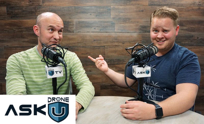
Our caller is using Pix4D for processing his drone mapping data. He wishes to use the Inspire 1 with an X5 camera and a Panasonic Lumix 1442 lens. Is the X5 ideal for drone mapping jobs? We also discuss if you can use variable zoom on a mapping mission. Thanks to the caller for the question. Stay tuned and fly safe!

Also, the folks over at Go Professional Cases are offering a special discount for Drone U members. GPC designs the highest quality professional cases for your drone and GoPro. And they will even custom design a case for you. Use the promo code DRONEU15 to avail a killer deal.

Make sure to get yourself a Drone U landing pad!

Get your questions answered: https://thedroneu.com/.

If you enjoy the show, the #1 thing you can do to help us out is subscribe to it on iTunes. Can we ask you to do that for us really quick? While you’re there, leave us a 5-star review, if you’re inclined to do so. Thanks! https://itunes.apple.com/us/podcast/ask-drone-u/id967352832.

Follow Us

Site – https://thedroneu.com/
Facebook – https://www.facebook.com/droneu
Instagram – https://instagram.com/thedroneu/
Twitter – https://twitter.com/thedroneu
YouTube – https://www.youtube.com/c/droneu

Get your copy of “Livin’ the Drone Life” – //amzn.to/2nalUDH
Get your copy of our Part 107 Study Guide – //amzn.to/2omQatT
Learn about our In-Person Mapping Course in Houston – //bit.ly/HoustonMapping
Check out our Drone Maps – https://sketchfab.com/models/e9c198e166ce4f92a7eb0a085ba83d1a

Timestamps

  • [02:55]Paul shares information about Drone U’s upcoming webinar
  • [06:32] Today’s question is about using a zoom lens when processing data with Pix4D
  • [08:21] How can you use a zoom lens with Pix4D?
  • [09:21] Can you use variable zoom on a project?
  • [10:30] How does focal length vary if you are using a crop sensor?
  • [11:20] Why should you always set your zoom to maximum?
  • [12:07] Should you use the X5 camera on mapping jobs? And, can you capture better detail with a zoom lens?


Apple PodcastsGoogle PodcastsPlayer EmbedShare
Leave a ReviewListen in a New WindowDownloadSoundCloudStitcherSubscribe on AndroidSubscribe via RSSSpotify

Subscribe & listen to Ask Drone U on your favorite platform!

YOU MAY ALSO LIKE...

How to navigate the surveying industry as a drone pilot?

What barriers can drone pilots facing while working in the surveying industry? Today's episode is brought to you by Drone U podcasts. Streamed over..

Episode Details

What are some predictions and insights for the drone industry in..

What are some predictions for the drone industry? What domains hold higher opportunities as 2023 unfolds? Today's episode is brought to you by..

Episode Details

Why drone data is so valuable for roofing contractors and inspections..

We are excited to bring this very special podcast for our viewers. On today's show we discuss why drone data is valuable for roofing contractors and..

Episode Details

What should we be doing to prepare for 2023?

How can we prepare for 2023? What specific actions should businesses and pilots take for 2023? Today's episode is brought to you by Drone U courses..

Episode Details

How can I perform low elevation mapping with my drone?

How can pilots perform low elevation mapping? How low can pilots fly to conduct mapping missions effectively? Today's episode is brought to you by..

Episode Details

Can I map with the Mavic 3 Enterprise?

Is the Mavic 3 worth purchasing for conducting mapping missions? Are there better drones in the market for mapping? Today's episode is brought to..

Episode Details

How do I get mapping clients?

What are the nuances to get mapping clients? How to enhance quality of service and deliverables? Today's episode is brought to you by Drone U..

Episode Details

Are there opportunities in the surveying world for DSP’s?

What opportunities exist for DSPs in Surveying? Is it viable to offer such services? What are the complexities involved? Today's episode is brought..

Episode Details

Interview with Trent Casi, Drone U’s new sales director for..

Today's show is an exclusive one as we are joined by Trent Casi, Drone U's new sales director for the PROPS platform. Trent has several years of..

Episode Details

What opportunities are out there for drone pilots?

Where can drone pilots seek job opportunities? Are there new avenues for drone pilots to pursue? Today's episode is brought to you by Drone U..

Episode Details

SELECT * FROM `wp_numerous_content` WHERE content_type = 'Podcast' AND content_status = 1 AND content_parent_id='18868'

ask us

your question

Click the button below to record your question. Please keep it to roughly a minute long, polite, non-spammy and drone or business related. Here are the full submission guidelines

RECORD - LISTEN - SENDRecord a Voice Message

Top 10 Podcasts

  • 1. What should I know about drone insurance?
  • 2. BONUS EPISODE: Michael Singer v. City of Newton (City Drone Ordinance Nullified!)
  • 3. Is there a place for me in the real estate industry if I lack photography and video skills?
  • 4. Is the DJI Spark a good drone?
  • 5. INTERVIEW WITH ANDY LUTEN
  • 6. How to market your drone business
  • 7. DJI Drone Comparison | DJI Phantom 4 Pro, Inspire 1, Inspire 2
  • 8. Can I fly my drone over people if I have their consent?
  • 9. Drone Photography Pricing for land-only drone jobs
  • 10. Can I fly my drone over a road?

Top 10 Blogs

  • 1. FAA's Drone Remote ID NPRM - It's Time for the Industry to Raise our Voice
  • 2. Autel Evo 2 vs DJI Mavic 3 – Which Drone Should You Buy in 2020?
  • 3. DJI Mavic 3 in Summer 2020 – Are the Latest Rumors True?
  • 4. Part 107 License FAQ | Your Drone Certificate Questions Answered
  • 5. Flying Large Drones Over 55 Pounds Using Section 333 Exemption
  • 6. Drone Pilot License Guide | Get Your FAA Part 107 Certificate.
  • 7. Drone Insurance FAQ's – How to Get the Best and Most Affordable Coverage
  • 8. LAANC Apps - Using Kittyhawk and Skyward for Approval
  • 9. FAADroneZone - How to Apply for a Part 107 Waiver
  • 10. Little Known Facts About Part 107’s “Visual Line of Sight (VLOS)" Rule That You Might Not Be Aware Of
Added to your playlist successfully.
Failed to add in your playlist.

Don't Crash Your Drone Checklist

Download this 27 point checklist to avoid catastrofic failures, and drone crashes that cost your time and money

What's inside this FREE Checklist?

  • Basic pre-flight workflow
  • Ensure proper video/photo setting
  • Rules for take off and landing
  • In flight reminder

This email is already exist.

Your information is safe with us. We NEVER rent,sell or do anything crazy with your privacy. Read our privacy policy.

  • Home
  • Portfolio
  • Books
  • Site Tour
  • Podcast Sponsorship
  • Support
  • Swag
  • Hire Us
  • FAQs
  • Search
™ Drone U
  • Legal
  • Privacy
  • Contact