
Shooting & Mapping Construction Sites
The construction industry is the largest employer of drone services. From pre-construction to project closeout, drone uses can help save time and cost across the entire construction life cycle. In this exhaustive course, we discuss some BEST practices which can help YOU fly a construction mission safely and accurately. What is the #1 focus on a construction site? You will also learn about hardware and software requirements, GCP's and client deliverables. Watch this to get started in the construction industry.
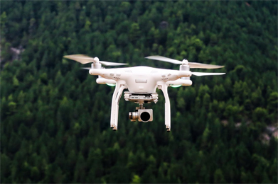
How to Set Ground Control Points for Greater Accuracy in UAV Mapping

DJI Phantom 4 Pro vs. Yuneec H520 - Which Is the Better Drone for UAV Mapping?
The first impression – Is the Yuneec H520 a good option for UAV mapping? The Yuneec H520 is an imposing bird. Sporting striking colors (orange and black), and dimensions of 520 x 455 x 295 mm, the Yuneec H520 certainly makes quite an impression....
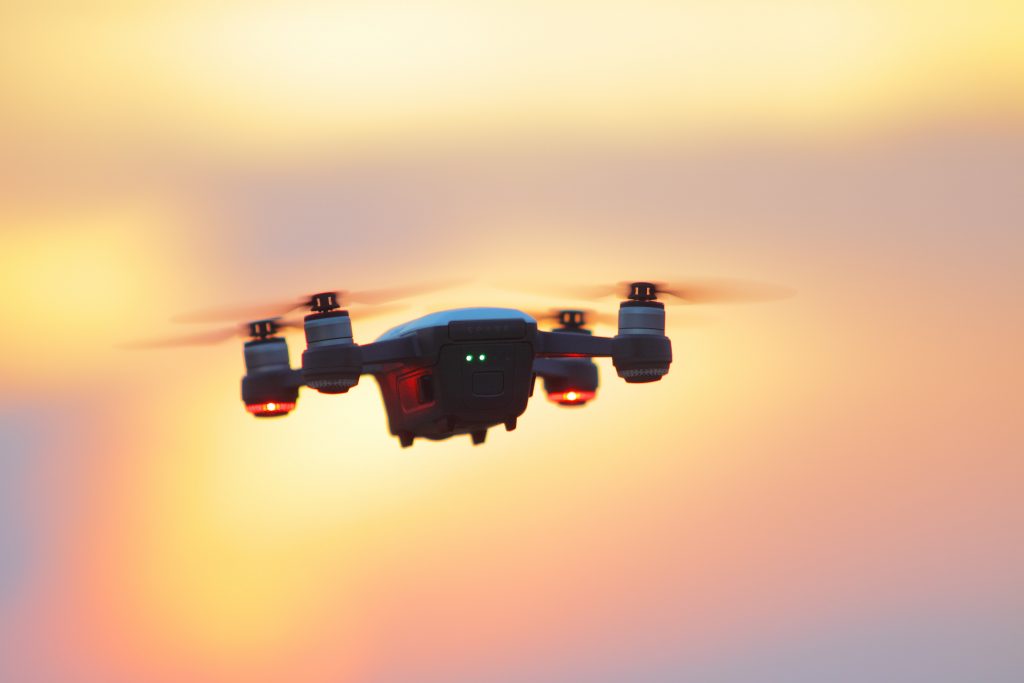
DJI Phantom 4 RTK Drone – All You Need to Know About This Surveying and Mapping Powerhouse
After the extremely successful launch of the Mavic 2, drone pilots were eagerly waiting to get their hands on the DJI Phantom 5. In the midst of all this, DJI sprung another surprise by launching the DJI Phantom 4 RTK drone. Like all DJI offerings, the...
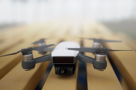
Drone U In-Person Mapping Instruction: A Comprehensive Course on Mapping and Modeling with sUAS
The trend of utilizing small Unmanned Aerial Systems (sUAS) for mapping and modeling of real world features is on the rise. This technology is being integrated across a vast number of commercial/industrial sectors. As integration becomes more prolific,...



 Explore more on Drone U
